
The West Midlands shown in England
There are over 20,000 Grade II* listed buildings in England. This page is a list of these buildings in the county of West Midlands, by district.
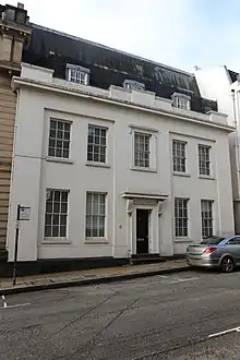
Birmingham
.jpg.webp)

.jpg.webp)
.jpg.webp)

.jpg.webp)
.jpg.webp)

.jpg.webp)


.jpg.webp)
.jpg.webp)


.jpg.webp)


.jpg.webp)
.jpg.webp)
.jpg.webp)


.jpg.webp)

.jpg.webp)


.jpg.webp)


%252C_Kings_Norton.jpg.webp)
.jpg.webp)
.jpg.webp)
.jpg.webp)
.jpg.webp)
.jpg.webp)
.jpg.webp)
.jpg.webp)

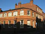
City of Wolverhampton


Coventry
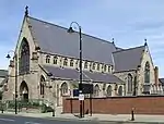
Dudley
.jpg.webp)


%252C_Mary_Stevens_Park%252C_Stourbridge_(geograph_3847000).jpg.webp)
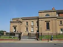
Sandwell
_(2).jpg.webp)
.jpg.webp)
.jpg.webp)
.jpg.webp)
.jpg.webp)
.jpg.webp)
.jpg.webp)
Solihull


Walsall


See also
Notes
- 1 2 3 4 5 6 The date given is the date used by Historic England as significant for the initial building or that of an important part in the structure's description.
- 1 2 3 4 5 6 Sometimes known as OSGB36, the grid reference is based on the British national grid reference system used by the Ordnance Survey.
- 1 2 3 4 5 6 The "List Entry Number" is a unique number assigned to each listed building and scheduled monument by Historic England.
References
External links
![]() Media related to Grade II* listed buildings in the West Midlands (county) at Wikimedia Commons
Media related to Grade II* listed buildings in the West Midlands (county) at Wikimedia Commons
This article is issued from Wikipedia. The text is licensed under Creative Commons - Attribution - Sharealike. Additional terms may apply for the media files.