There are over 20,000 Grade II* listed buildings in England. This page is a list of these buildings in the district of Colchester in Essex.
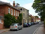
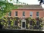
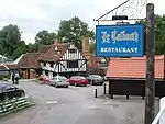
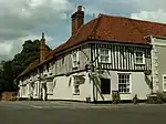
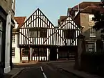
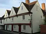
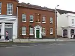
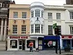
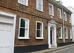
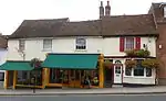
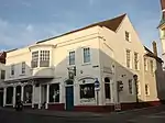
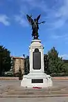
List of buildings
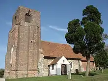

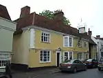
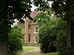
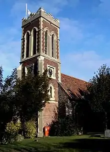
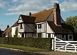
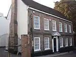
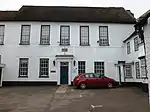
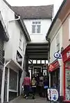
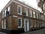
_North_of_Birch_Hall.JPG.webp)

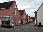

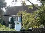


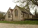


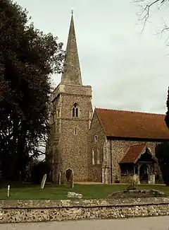
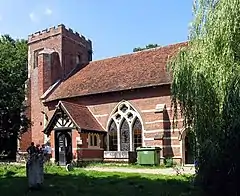
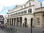
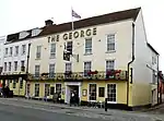
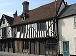
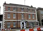
.jpg.webp)

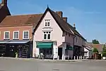
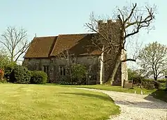
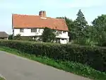
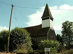
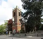
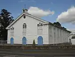
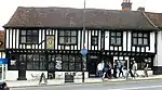
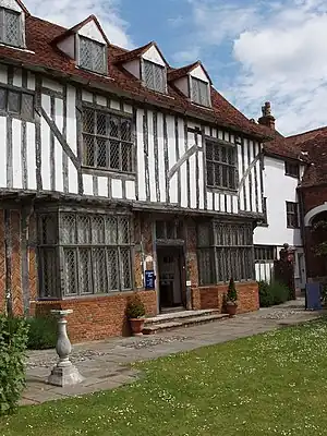
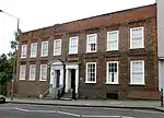
.JPG.webp)
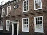


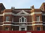


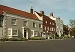
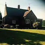
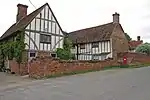
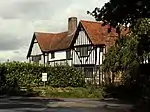
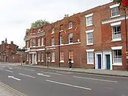
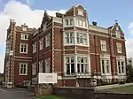
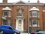
.JPG.webp)
See also
- Grade I listed buildings in Essex
- Grade II* listed buildings in Essex
- Grade II* listed buildings in Basildon (district)
- Grade II* listed buildings in Braintree (district)
- Grade II* listed buildings in Brentwood (borough)
- Grade II* listed buildings in Castle Point
- Grade II* listed buildings in Chelmsford (borough)
- Grade II* listed buildings in Epping Forest (district)
- Grade II* listed buildings in Harlow
- Grade II* listed buildings in Maldon (district)
- Grade II* listed buildings in Rochford (district)
- Grade II* listed buildings in Southend-on-Sea
- Grade II* listed buildings in Tendring
- Grade II* listed buildings in Thurrock
- Grade II* listed buildings in Uttlesford
- Churches in Colchester
Notes
- ↑ The date given is the date used by Historic England as significant for the initial building or that of an important part in the structure's description.
- ↑ Sometimes known as OSGB36, the grid reference is based on the British national grid reference system used by the Ordnance Survey.
- ↑ The "List Entry Number" is a unique number assigned to each listed building and scheduled monument by Historic England.
External links
This article is issued from Wikipedia. The text is licensed under Creative Commons - Attribution - Sharealike. Additional terms may apply for the media files.