Bedfordshire has 141 Grade II* listed buildings.
Buildings
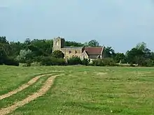
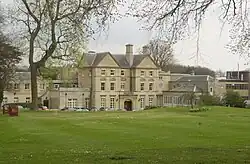
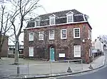
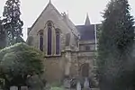
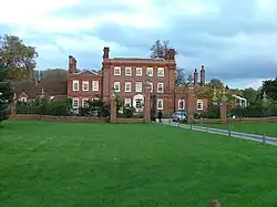
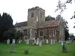
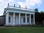
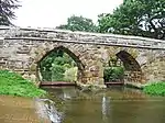
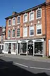
Bedford


_-_geograph.org.uk_-_136209.jpg.webp)


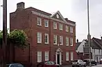

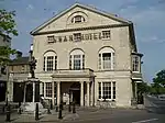

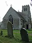
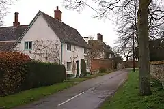
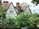
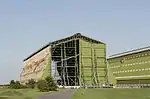
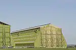
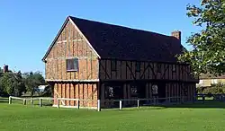
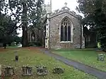
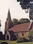
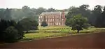
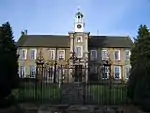
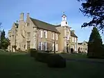
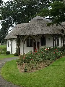
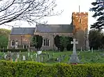
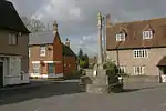
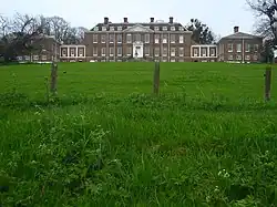
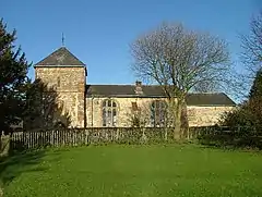
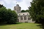
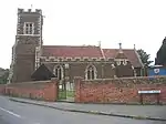
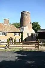
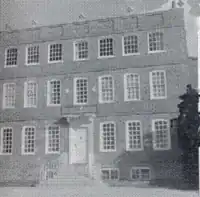
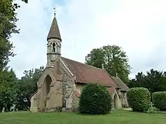
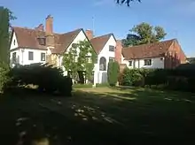
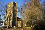
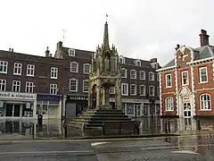
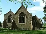
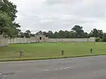
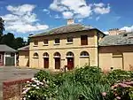
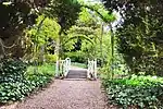
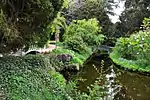
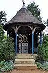
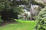
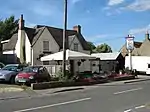
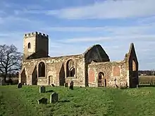
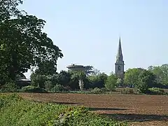
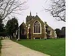
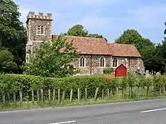
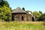
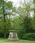
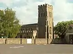
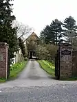
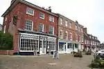
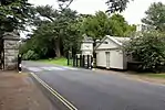
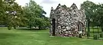
Central Bedfordshire


.jpg.webp)


.jpg.webp)


.jpg.webp)


.jpg.webp)


.jpg.webp)


Luton
Luton has no Grade II* listed buildings.
See also
Notes
Wikimedia Commons has media related to Grade II* listed buildings in Bedfordshire.
- 1 2 The date given is the date used by Historic England as significant for the initial building or that of an important part in the structure's description.
- 1 2 Sometimes known as OSGB36, the grid reference is based on the British national grid reference system used by the Ordnance Survey.
- 1 2 The "List Entry Number" is a unique number assigned to each listed building and scheduled monument by Historic England.
This article is issued from Wikipedia. The text is licensed under Creative Commons - Attribution - Sharealike. Additional terms may apply for the media files.