There are over 9,000 Grade I listed buildings in England. This page is a list of these buildings in the district of Scarborough in North Yorkshire.

Scarborough

Name Location Type Completed [note 1]Date designated Grid ref.[note 2]
Geo-coordinates
Entry number [note 3]Image
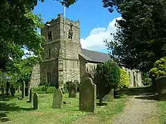
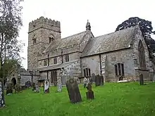
Church of All Saints BromptonChurch180518 January 1967SE9429182127
54°13′34″N 0°33′19″W / 54.22619°N 0.555173°W / 54.22619; -0.555173 (Church of All Saints)
1316111
Church of All Saints
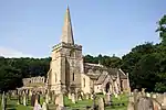
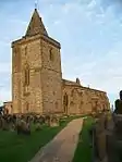
Church of Saint John the Baptist CaytonChurch12th century18 January 1967TA0566083330
54°14′05″N 0°22′50″W / 54.234781°N 0.380434°W / 54.234781; -0.380434 (Church of Saint John the Baptist)
1148133
Church of Saint John the Baptist
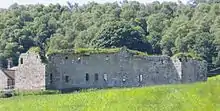
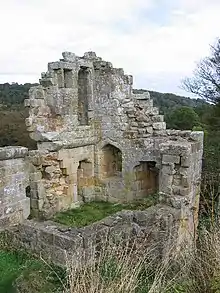
Danby Castle DanbyFarmhouse19th century20 December 1990NZ7172507238
54°27′20″N 0°53′43″W / 54.455475°N 0.895197°W / 54.455475; -0.895197 (Danby Castle)
1178588
Danby Castle
Danby Castle
Church of St Oswald FileyChurch17th century24 October 1950TA1177881065
54°12′47″N 0°17′15″W / 54.213137°N 0.287457°W / 54.213137; -0.287457 (Church of St Oswald)
1316455
Church of St Stephen FylingdalesChurchMedieval6 October 1969NZ9416205940
54°26′25″N 0°32′59″W / 54.440156°N 0.549641°W / 54.440156; -0.549641 (Church of St Stephen)
1148706
Church of St Peter HacknessCrossC918 January 1967SE9691090554
54°18′05″N 0°30′44″W / 54.301412°N 0.512291°W / 54.301412; -0.512291 (Church of St Peter)
1296564
Church of St Peter
Church of St Peter
Hackness Hall and Railings and Railings Attached to Terrace on Garden Front HacknessCountry House1791-179613 December 1951SE9711790521
54°18′04″N 0°30′33″W / 54.301076°N 0.509122°W / 54.301076; -0.509122 (Hackness Hall and Railings and Railings Attached to Terrace on Garden Front)
1148859
Hackness Hall and Railings and Railings Attached to Terrace on Garden Front
Church of St Matthew Hutton BuscelChurch12th century18 January 1967SE9727384032
54°14′34″N 0°30′32″W / 54.242748°N 0.508832°W / 54.242748; -0.508832 (Church of St Matthew)
1172851
Church of St Matthew
Church of St Oswald LytheParish Church13th century6 October 1969NZ8501513154
54°30′24″N 0°41′19″W / 54.506581°N 0.688563°W / 54.506581; -0.688563 (Church of St Oswald)
1316097
Old Mulgrave Castle LytheBailey12th century6 October 1969NZ8393911673
54°29′36″N 0°42′20″W / 54.493454°N 0.705596°W / 54.493454; -0.705596 (Old Mulgrave Castle)
1316096
Church of St Martin SeamerChurch19th century18 January 1967TA0149983381
54°14′10″N 0°26′39″W / 54.23608°N 0.444229°W / 54.23608; -0.444229 (Church of St Martin)
1316472
Church of St Martin
Church of St Martin
Foulbridge Farmhouse and Attached Cottage SnaintonHouse18th century20 July 1981SE9140279438
54°12′09″N 0°36′01″W / 54.202553°N 0.600289°W / 54.202553; -0.600289 (Foulbridge Farmhouse and Attached Cottage)
1172918
Foulbridge Farmhouse and Attached Cottage
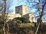
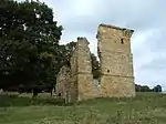
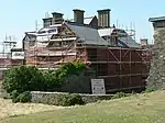
Ayton Castle West AytonPele TowerLate 14th century18 January 1967SE9876585091
54°15′07″N 0°29′08″W / 54.251977°N 0.485597°W / 54.251977; -0.485597 (Ayton Castle)
1148147
Ayton Castle
Ayton Castle
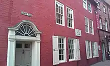
Captain Cooks House WhitbyHouseEarlier23 February 1954NZ9003011043
54°29′12″N 0°36′42″W / 54.486751°N 0.61178°W / 54.486751; -0.61178 (Captain Cooks House)
1148246
Donkey Road (Church Lane) WhitbyTrackwayEarlier4 December 1972NZ9005511280
54°29′20″N 0°36′41″W / 54.488876°N 0.611322°W / 54.488876; -0.611322 (Donkey Road (Church Lane))
1148374
Donkey Road (Church Lane)
Parish Church of St Mary WhitbyParish Churchc.111023 February 1954NZ9015011294
54°29′20″N 0°36′35″W / 54.488985°N 0.609852°W / 54.488985; -0.609852 (Parish Church of St Mary)
1055865
The Abbey House WhitbyHouseMedieval23 February 1954NZ9023811118
54°29′15″N 0°36′31″W / 54.487388°N 0.608547°W / 54.487388; -0.608547 (The Abbey House)
1055872
The Abbey House
The Abbey House
Garden Walls and Gatepiers to the Abbey House WhitbyGate PierLate 17th century23 February 1954NZ9022411247
54°29′19″N 0°36′31″W / 54.488549°N 0.608724°W / 54.488549; -0.608724 (Garden Walls and Gatepiers to the Abbey House)
1148375
Garden Walls and Gatepiers to the Abbey House
The Church Stairs WhitbyStepsFirst Mentioned 137023 February 1954NZ9006011277
54°29′20″N 0°36′40″W / 54.488848°N 0.611246°W / 54.488848; -0.611246 (The Church Stairs)
1316348
Whitby Abbey (ruins) WhitbyAbbey12th century23 February 1954NZ9030311217
54°29′18″N 0°36′27″W / 54.488266°N 0.607514°W / 54.488266; -0.607514 (Whitby Abbey (ruins))
1316347
Whitby Abbey (ruins)
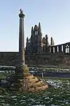
Whitby Abbey Cross WhitbyCrossMedieval23 February 1954NZ9024211298
54°29′20″N 0°36′30″W / 54.489004°N 0.608431°W / 54.489004; -0.608431 (Whitby Abbey Cross)
1148373
Whitby Abbey Cross
Whitby Abbey Cross
Youth Hostel WhitbyHouse17th century23 February 1954NZ9017711202
54°29′17″N 0°36′34″W / 54.488153°N 0.609463°W / 54.488153; -0.609463 (Youth Hostel)
1366588
Youth Hostel
Youth Hostel
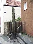
Butter Cross ScarboroughMarket CrossMedieval22 December 1953TA0471688840
54°17′04″N 0°23′35″W / 54.284475°N 0.392987°W / 54.284475; -0.392987 (Butter Cross)
1243561
Butter Cross
Butter Cross
Church of St Martin ScarboroughParish Church1861-628 June 1973TA0420287774
54°16′30″N 0°24′05″W / 54.275003°N 0.40125°W / 54.275003; -0.40125 (Church of St Martin)
1242903
Church of St Mary ScarboroughChurch12th century22 December 1953TA0468089064
54°17′11″N 0°23′36″W / 54.286495°N 0.393461°W / 54.286495; -0.393461 (Church of St Mary)
1258195
King Richard's House ScarboroughHousemedieval origin22 December 1953TA0488588808
54°17′03″N 0°23′25″W / 54.284153°N 0.390403°W / 54.284153; -0.390403 (King Richard's House)
1243365
King Richard's House

Notes

  1. The date given is the date used by Historic England as significant for the initial building or that of an important part in the structure's description.
  2. Sometimes known as OSGB36, the grid reference is based on the British national grid reference system used by the Ordnance Survey.
  3. The "List Entry Number" is a unique number assigned to each listed building and scheduled monument by Historic England.

Media related to Grade I listed buildings in Scarborough at Wikimedia Commons

This article is issued from Wikipedia. The text is licensed under Creative Commons - Attribution - Sharealike. Additional terms may apply for the media files.