
Staffordshire shown within England
There are over 9000 Grade I listed buildings in England. This page is a list of these buildings in the county of Staffordshire, by district.
City of Stoke-on-Trent
| Name | Location | Type | Completed [note 1] | Date designated | Grid ref.[note 2] Geo-coordinates |
Entry number [note 3] | Image |
|---|---|---|---|---|---|---|---|
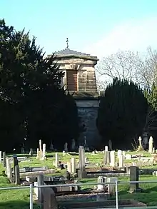
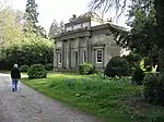
| Trentham Mausoleum | Trentham | Mausoleum | c. 1808 | 19 April 1972 | SJ8680441062 52°58′00″N 2°11′53″W / 52.966754°N 2.197922°W |
1210451 |
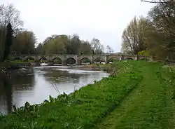
East Staffordshire
Aug2006.jpg.webp)
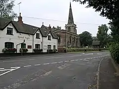
Lichfield District
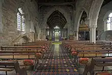


.JPG.webp)
Newcastle-under-Lyme
| Name | Location | Type | Completed [note 1] | Date designated | Grid ref.[note 2] Geo-coordinates |
Entry number [note 3] | Image |
|---|---|---|---|---|---|---|---|
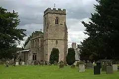
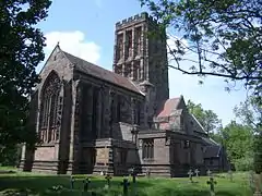
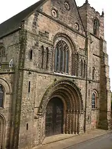
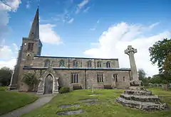
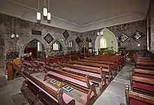
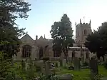
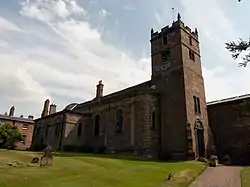
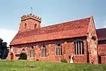
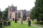
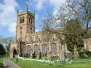
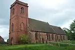
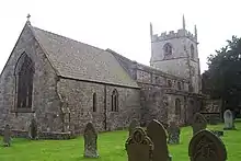
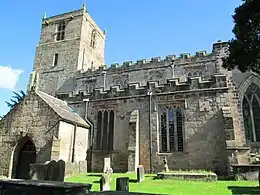
| Church of St Margaret | Betley | Parish Church | 17th century | 17 November 1966 | SJ7556348459 53°01′58″N 2°21′57″W / 53.032849°N 2.365848°W |
1038581 | 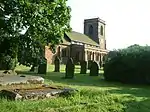 Church of St Margaret |
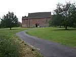
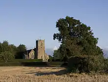
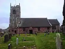
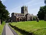
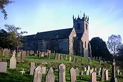
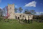
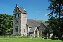
| Church of All Saints | Madeley | Parish Church | 12th century | 17 November 1966 | SJ7730144377 52°59′46″N 2°20′23″W / 52.996233°N 2.339644°W |
1206195 | |
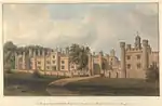
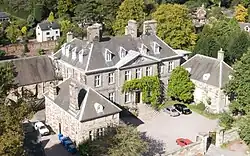
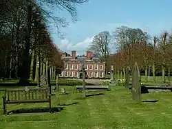
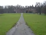
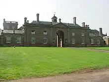
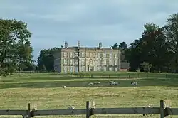
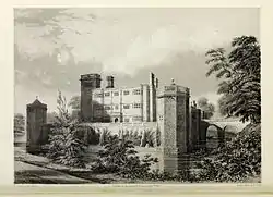
| Whitmore Hall | Whitmore | House | Late 19th century | 2 December 1952 | SJ8109041266 52°58′06″N 2°16′59″W / 52.968415°N 2.283009°W |
1206579 |
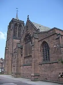
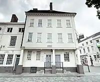
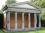
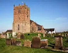
South Staffordshire
.jpg.webp)


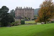
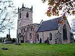
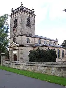
Stafford Borough
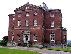

.jpg.webp)
.jpg.webp)
.jpg.webp)
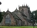
_All_Saints_Church_-_geograph.org.uk_-_69760.jpg.webp)
.jpg.webp)
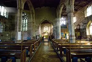
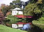
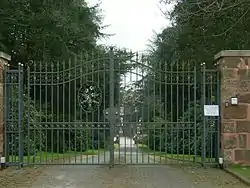
Staffordshire Moorlands


.jpg.webp)
Tamworth
| Name | Location | Type | Completed [note 1] | Date designated | Grid ref.[note 2] Geo-coordinates |
Entry number [note 3] | Image |
|---|---|---|---|---|---|---|---|
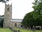
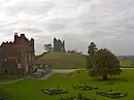
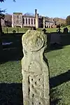
| Causeway walls to north east of Tamworth Castle | Tamworth | Wall | Late 11th century | 11 May 1950 | SK2066703928 52°37′58″N 1°41′46″W / 52.632715°N 1.696073°W |
1297334 | 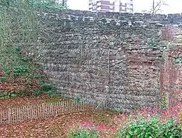 Causeway walls to north east of Tamworth Castle |
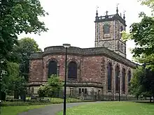
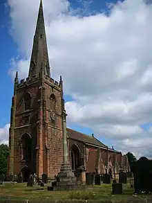
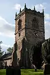
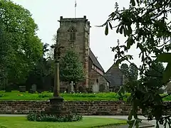
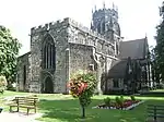
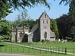
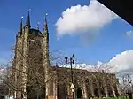
| Church of St Editha | Tamworth | Church | Late 14th century | 11 May 1950 | SK2078404090 52°38′03″N 1°41′40″W / 52.634167°N 1.694334°W |
1207856 | |
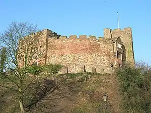
| Tamworth Castle | Tamworth | Castle | Late 11th century | 11 May 1950 | SK2061303913 52°37′57″N 1°41′49″W / 52.632582°N 1.696872°W |
1197020 |
References
Notes
- 1 2 3 4 5 6 7 8 The date given is the date used by Historic England as significant for the initial building or that of an important part in the structure's description.
- 1 2 3 4 5 6 7 8 Sometimes known as OSGB36, the grid reference is based on the British national grid reference system used by the Ordnance Survey.
- 1 2 3 4 5 6 7 8 The "List Entry Number" is a unique number assigned to each listed building and scheduled monument by Historic England.
External links
![]() Media related to Grade I listed buildings in Staffordshire at Wikimedia Commons
Media related to Grade I listed buildings in Staffordshire at Wikimedia Commons
This article is issued from Wikipedia. The text is licensed under Creative Commons - Attribution - Sharealike. Additional terms may apply for the media files.