Uvongo | |
|---|---|
 Uvongo Beach | |
 Uvongo 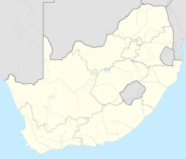 Uvongo | |
| Coordinates: 30°49′S 30°23′E / 30.817°S 30.383°E | |
| Country | South Africa |
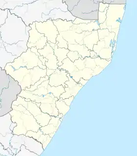
| Province | KwaZulu-Natal |
| District | Ugu |
| Municipality | Ray Nkonyeni |
| Main Place | Margate |
| Area | |
| • Total | 4.52 km2 (1.75 sq mi) |
| Population (2011)[1] | |
| • Total | 4,288 |
| • Density | 950/km2 (2,500/sq mi) |
| Racial makeup (2011) | |
| • Black African | 21.6% |
| • Coloured | 2.0% |
| • Indian/Asian | 4.4% |
| • White | 71.8% |
| • Other | 0.3% |
| First languages (2011) | |
| • English | 57.7% |
| • Afrikaans | 25.5% |
| • Zulu | 8.1% |
| • Xhosa | 5.6% |
| • Other | 3.2% |
| Time zone | UTC+2 (SAST) |
| Postal code (street) | 4270 |
| PO box | 4270 |
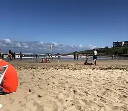
Uvongo is a seaside resort town situated along the KwaZulu-Natal South Coast at the mouth of the Vungu River in KwaZulu-Natal, South Africa. Situated 4 kilometres (2.5 mi) north of Margate, Uvongo is the largest upmarket residential area on the lower South Coast.
Uvongo beach lost its "Blue Flag" title due to storms damaging it in April 2007 but has managed to regain a clean and prestigious beach front. Uvongo still remains the playground of the rich, with multimillion rand properties in the area. Uvongo is one of South Africa's favourite holiday destinations and attracts local and foreign tourists.
Etymology
The town is named after the Vungu River,[2] which is derived from the Zulu word that describes the sound of a waterfall or the wind in a gorge.
Geography
Uvongo is situated along the Lower South Coast, south of the Mhlangeni River. Its neighboring towns are St Michael’s-on-Sea and Shelly Beach to the north and Manaba Beach and Margate to the south.
The main river flowing through Uvongo, the Vungu River, forms a 23 metre high waterfall known as the Uvongo Falls above the river lagoon that flows into a small gorge at the river mouth.[3]
The Greater Uvongo area consists of three smaller suburbs, namely Uvongo proper, situated inland from the coastline, Uvongo Beach, situated along the coastline north of the Vungu River, and Beacon Rocks, situated along the coastline south of the Vungu River.[4]
Transport
Roads
The R61 (future N2 Wild Coast Toll Route) is a toll freeway bypassing Uvongo from Port Shepstone in the north to Port Edward in the south. The R620 is the main road through Uvongo, passing through from Shelly Beach in the north to Margate in the south as Marine Drive.
Apart from the two main north–south routes, there are two smaller east–west routes in Uvongo including Seaslopes Road, which provides access to the R61 and Knoxgore Road, which connects Uvongo with Gamalakhe.
See also
References
- 1 2 3 4 "Sub Place Uvongo". Census 2011.
- ↑ Jenkins, Elwyn (2007), Falling into place: the story of modern South African place names, David Philip Publishers, p. 76
- ↑ "Uvongo". www.sa-venues.com. Retrieved 5 July 2023.
- ↑ "Census 2011: Main Place: Margate". census2011.adrianfrith.com. Retrieved 4 November 2022.
Municipalities and communities of Ugu District Municipality, KwaZulu-Natal | ||
|---|---|---|
District seat: Port Shepstone | ||
| Ray Nkonyeni | .svg.png.webp) Ugu District within South Africa | |
| Umzumbe | ||
| uMuziwabantu | ||
| uMdoni | ||