Umtentweni | |
|---|---|
 Umtentweni 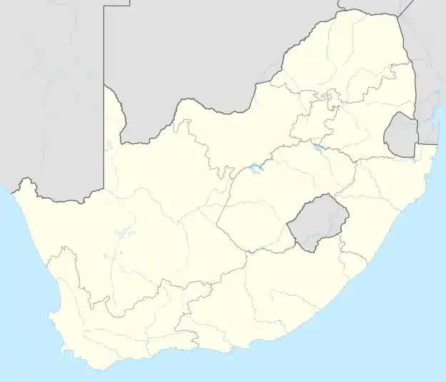 Umtentweni | |
| Coordinates: 30°43′S 30°28′E / 30.717°S 30.467°E | |
| Country | South Africa |
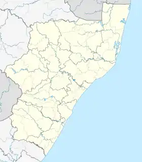
| Province | KwaZulu-Natal |
| District | Ugu |
| Municipality | Ray Nkonyeni |
| Main Place | Port Shepstone |
| Area | |
| • Total | 8.29 km2 (3.20 sq mi) |
| Population (2011)[1] | |
| • Total | 4,383 |
| • Density | 530/km2 (1,400/sq mi) |
| Racial makeup (2011) | |
| • Black African | 19.7% |
| • Coloured | 2.6% |
| • Indian/Asian | 7.7% |
| • White | 69.3% |
| • Other | 0.7% |
| First languages (2011) | |
| • English | 64.7% |
| • Afrikaans | 21.3% |
| • Zulu | 8.6% |
| • Xhosa | 2.8% |
| • Other | 2.6% |
| Time zone | UTC+2 (SAST) |
| Postal code (street) | 4235 |
| PO box | 4235 |
| Area code | 039 |
Umtentweni is a small coastal resort on the South Coast of KwaZulu-Natal, South Africa, between the Mzimkulu River (the great home of all rivers) and the Mtentweni River (named after a species of grass that grows on its banks).[2] It forms part of the coastal town of Port Shepstone in the Ray Nkonyeni Local Municipality (part of the Ugu District Municipality), KwaZulu-Natal, South Africa. It is a relatively clean and quiet residential resort; it has become an attractive destination for people aiming to get away from city life. Most of the village is filled with complexes, flats, bed and breakfasts and suburban-style houses. Twenty years ago the whole of Umtentweni consisted of a lot of greenery and wildlife. All this has changed due to the growing popularity of this small resort and the constant clearing for new housing.
The Port Shepstone Country Club is also located in Umtentweni on the banks of the Mzimkhulu River. There is also a public beach, a whale deck and a tennis club.
Geography
Umtentweni is located on elevated land overlooking the Indian Ocean, densely covered by subtropical vegetation that stretches the entirety of the Hibiscus Coast. It is situated between the Mtentweni River to the north, beyond which lies Sea Park and the Mzimkhulu River, beyond which lies Port Shepstone.
Transport
Roads
The N2 is a toll freeway bypassing Umtentweni from Durban in the north to Marburg in the south and intersects Rethman Drive and St. Faith’s Road (P68), which connects Umtentweni and St. Faith’s to the north-west. The R102 is the main road through Umtentweni, passing through from Melville in the north to the Port Shepstone CBD in the south and is the untolled alternative to the N2.
References
- 1 2 3 4 "Sub Place Umtentweni". Census 2011.
- ↑ Illustrated guide to Southern Africa. Internet Archive. Cape Town : Published by Reader's Digest Association South Africa in association with T.V. Bulpin. 1980. ISBN 978-0-620-04650-3.
{{cite book}}: CS1 maint: others (link)
Municipalities and communities of Ugu District Municipality, KwaZulu-Natal | ||
|---|---|---|
District seat: Port Shepstone | ||
| Ray Nkonyeni | .svg.png.webp) Ugu District within South Africa | |
| Umzumbe | ||
| uMuziwabantu | ||
| uMdoni | ||