
This is a list of the National Register of Historic Places listings in Center City, Philadelphia.
This is intended to be a complete list of the properties and districts on the National Register of Historic Places in Center City in Philadelphia, Pennsylvania, United States. The locations of National Register properties and districts for which the latitude and longitude coordinates are included below, may be seen in an online map.[1]
There are 600 properties and districts listed on the National Register in Philadelphia, including 67 National Historic Landmarks. Center City includes 147 of these properties and districts, including 34 National Historic Landmarks; the city's remaining properties and districts are listed elsewhere. Ten historic districts cover almost half of Center City including essentially all the area between the Schuylkill and Delaware Rivers from Chestnut Street on the north to Locust Street on the south. Six other properties in Center City were once listed but have been removed.
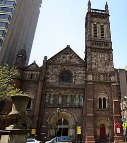
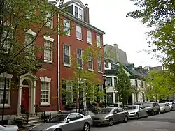
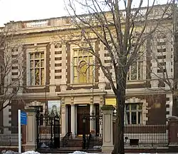
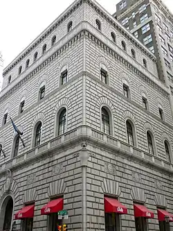
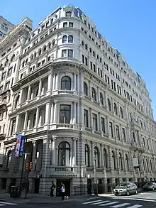
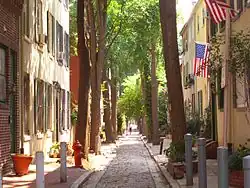
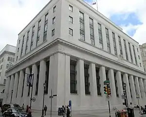
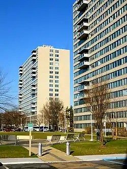
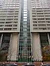
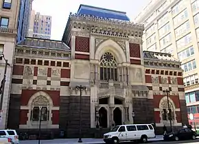
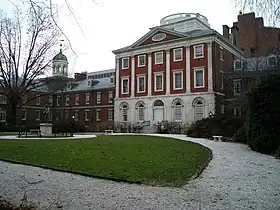
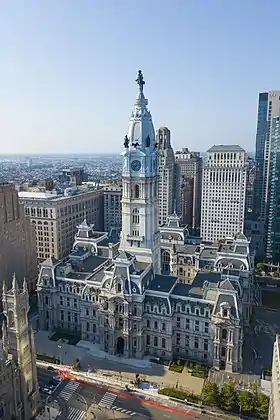
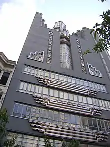
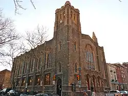
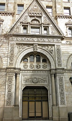
Current listings
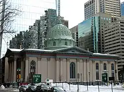
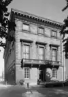
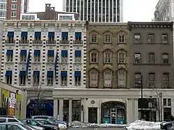


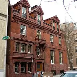
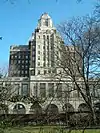
.jpg.webp)
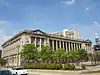
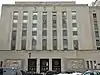
.jpg.webp)

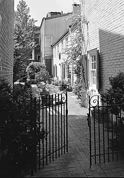

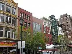

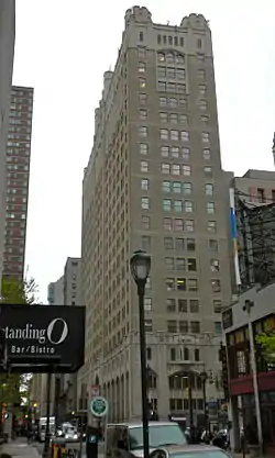
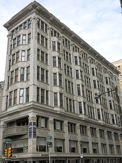


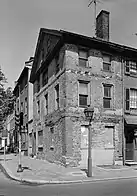
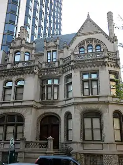
.jpg.webp)

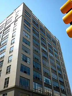
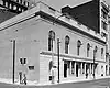
.JPG.webp)


.jpg.webp)


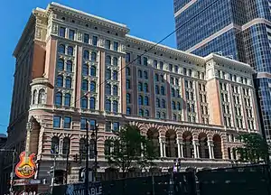
.jpg.webp)
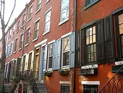
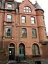
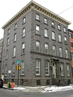


_cropped.jpg.webp)


Former listings
| [2] | Name on the Register | Image | Date listed | Date removed | Location | City or town | Description |
|---|---|---|---|---|---|---|---|
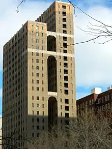
| 1 | Elks Lodge BPOE No. 2 | 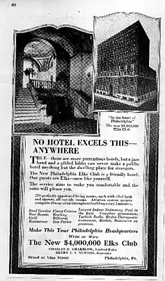 Elks Lodge BPOE No. 2 |
August 23, 1984 (#84003535) | June 23, 2023 | 306–320 North Broad Street 39°57′30″N 75°09′46″W / 39.9583°N 75.1628°W |
Callowhill | Replaced by a parking lot |
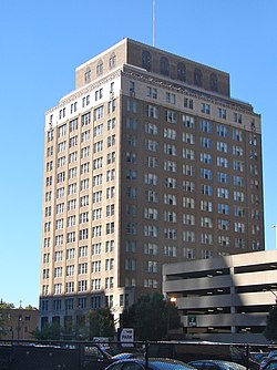
| 2 | Old Drexel Building | September 5, 1975 (#75001663) | February 14, 1978 | 34 S. 3rd Street |
Demolished | ||
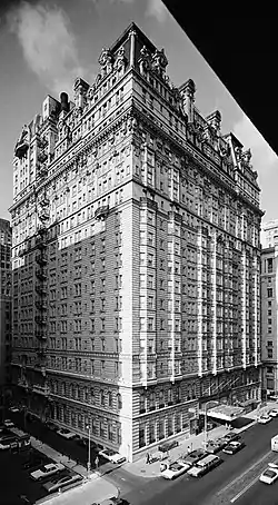
| 3 | Jayne Estate Building |  Jayne Estate Building |
April 30, 1987 (#87000648) | January 18, 2011 | 2–16 Vine Street 39°57′19″N 75°08′23″W / 39.9553°N 75.1397°W |
Penn's Landing | Demolished |
| 4 | Gilbert Building |  Gilbert Building |
July 17, 1986 (#86001688) | January 18, 2011 | 1315–1329 Cherry Street 39°57′19″N 75°09′42″W / 39.9553°N 75.1617°W |
Chinatown | Demolished in 2007 for the Pennsylvania Convention Center expansion.[6] |
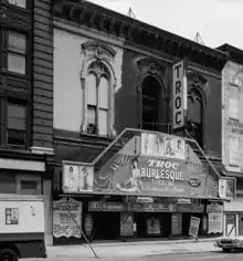
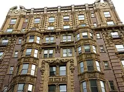
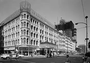
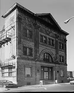
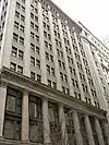
| 5 | Harrison Building |  Harrison Building |
July 29, 1983 (#83002271) | June 27, 1986 | 1001–1023 Filbert Street 39°57′09″N 75°09′25″W / 39.9525°N 75.1569°W |
Market East | Cope & Stewardson, architects. Destroyed by fire on May 2, 1984.[7] Now the site of the Greyhound Bus terminal. |
| 6 | Joseph Sims House | November 14, 1977 (#77001191) | January 4, 1978 | 228 S. 9th Street(original location) 39°56′49″N 75°09′17″W / 39.946858°N 75.154706°W |
Philadelphia | Delisted due to relocation to 236 S. 8th Street in 1978 | |
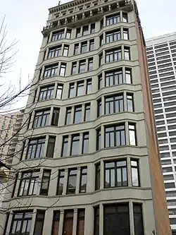
| 7 | Walter M. Steppacher and Brother Shirt Factory | Walter M. Steppacher and Brother Shirt Factory |
March 18, 2004 (#04000193) | January 18, 2011 | 148 North 13th Street 39°57′20″N 75°09′39″W / 39.9556°N 75.1608°W |
Chinatown | Demolished for the Pennsylvania Convention Center expansion |
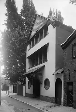
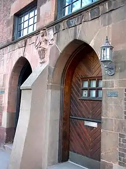
| 8 | Twelfth Street Meetinghouse | 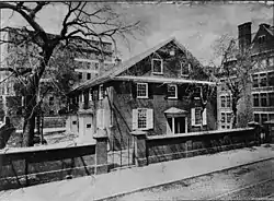 Twelfth Street Meetinghouse |
January 25, 1971 (#74002334) | 1974 | 20 S. 12th Street(original location) 40°12′41″N 74°56′02″W / 40.2112873°N 74.933794°W |
Center City, Philadelphia | Delisted after being dismantled and relocated to George School in Newtown, Bucks County, Pennsylvania. |
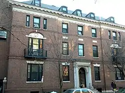
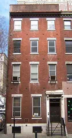
| 9 | John Wanamaker House | 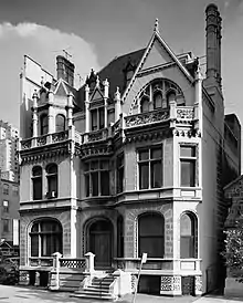 John Wanamaker House |
December 6, 1971 (#78003441) | March 30, 1978 | 2032 Walnut Street 39°57′01″N 75°10′33″W / 39.9503°N 75.1758°W |
Rittenhouse Square | Theophilus P. Chandler Jr., architect. Demolished following a fire; the facade survives. |
See also
References
- ↑ The latitude and longitude information provided in this table was derived originally from the National Register Information System, which has been found to be fairly accurate for about 99% of listings. Some locations in this table may have been corrected to current GPS standards.
- 1 2 Numbers represent an alphabetical ordering by significant words. Various colorings, defined here, differentiate National Historic Landmarks and historic districts from other NRHP buildings, structures, sites or objects.
- ↑ The eight-digit number below each date is the number assigned to each location in the National Register Information System database, which can be viewed by clicking the number.
- ↑ "The Political and Community Service Boundaries of Philadelphia" (PDF). Philadelphia City Planning Commission. June 2004. Archived from the original (PDF) on 2011-03-07.
- ↑ "Pennsylvania Federal Buildings". U.S. General Services Administration. Retrieved April 7, 2016.
- ↑ "On the road to ruin, a metaphor for life". The Philadelphia Inquirer. December 9, 2007. p. B1. Retrieved August 20, 2022 – via Newspapers.com.
- ↑ "9-Alarmer Evacuates Gallery". Philadelphia Daily News. May 3, 1984. p. 9. Retrieved August 20, 2022 – via Newspapers.com.
