
Location of Bucks County in Pennsylvania
This is a list of the National Register of Historic Places listings in Bucks County, Pennsylvania.
This is intended to be a complete list of the properties and districts on National Register of Historic Places in Bucks County, Pennsylvania. The locations of National Register properties and districts for which the latitude and longitude coordinates are included below, may be seen in a map.[1]
There are 163 properties and districts listed on the National Register in the county, including 12 National Historic Landmarks. Another 3 sites were once listed on the Register but have since been removed.
This National Park Service list is complete through NPS recent listings posted January 5, 2024.[2]
Current listings
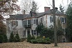
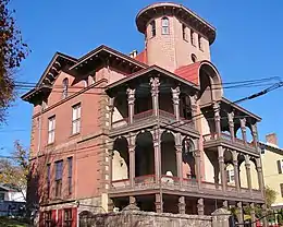
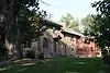
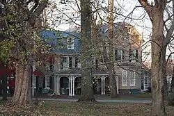
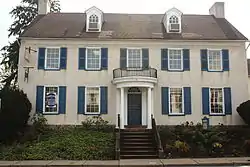
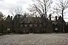
%252C_Andalusia_(Bucks_County%252C_Pennsylvania).jpg.webp)


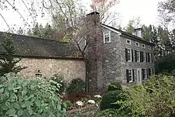
.jpg.webp)


.jpg.webp)

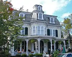


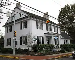


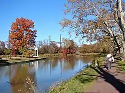
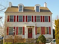
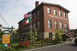
%252C_Morrisville_(Bucks_County%252C_Pennsylvania).jpg.webp)


Former listings
| [3] | Name on the Register | Image | Date listed | Date removed | Location | City or town | Description |
|---|---|---|---|---|---|---|---|
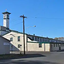
| 1 | Bristol Carpet Mills | October 16, 1986 (#86002893) | April 13, 1994 | Beaver Dam and Canal Streets |
Bristol | ||
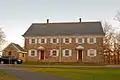
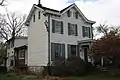
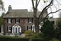
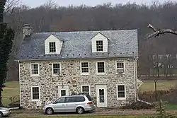
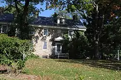
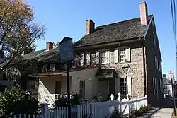
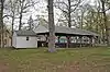
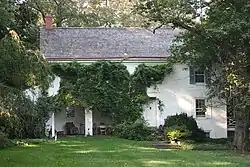
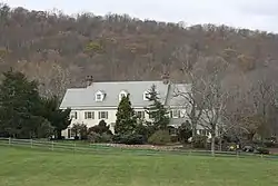
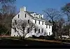
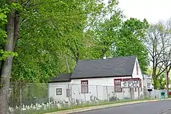
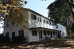
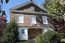
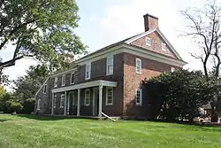
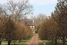
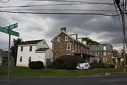
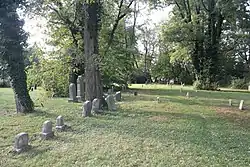
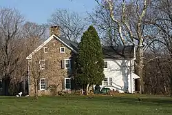
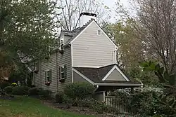
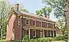
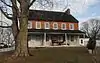
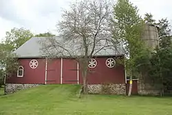
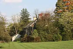
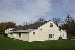
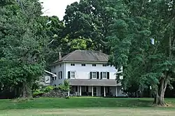
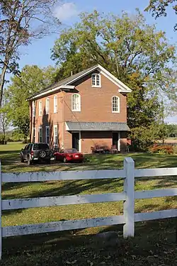
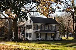
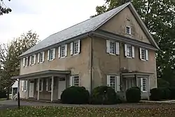
| 2 | Fretz Farm |  Fretz Farm |
March 7, 1985 (#85000459) | August 16, 2012 | Almshouse Road and Pennsylvania Route 611 40°16′15″N 75°07′44″W / 40.270833°N 75.128889°W |
Doylestown Township | Delisted due to significant alterations. |
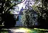
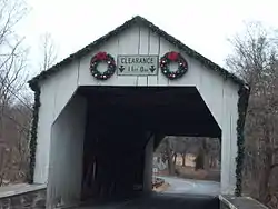
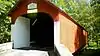
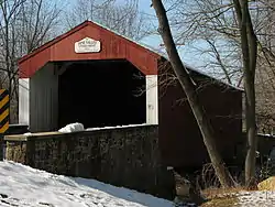
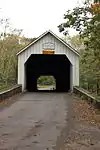
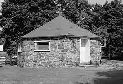
| 3 | Haupt's Mill Covered Bridge | 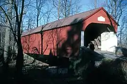 Haupt's Mill Covered Bridge |
December 1, 1980 (#80003446) | June 27, 1986 | Legislative Route 09061 in Durham |
Springfield Township | Destroyed by arson on January 14, 1985.[6] |
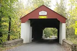
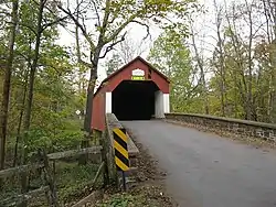
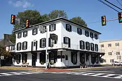
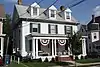
| 4 | Mood's Covered Bridge |  Mood's Covered Bridge |
December 1, 1980 (#80003440) | August 19, 2004 | East of Perkasie of Legislative Route 09118 |
East Rockhill Township | Damaged by an overweight truck on January 21, 2004.[7] Destroyed by arson on June 22, 2004.[8] |
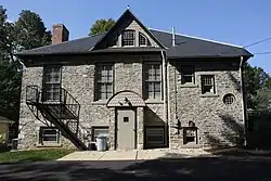
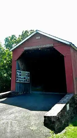
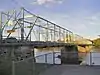
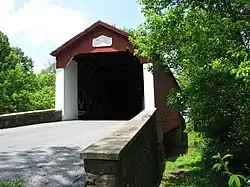
| 5 | Twining Ford Covered Bridge |  Twining Ford Covered Bridge |
December 1, 1980 (#80003439) | June 1, 1994 | West of Newtown in Tyler State Park |
Newtown and Northampton Townships | Photo from 1981. Destroyed by arson, 1991. A replica bridge was erected in 1997.[9] |
Wikimedia Commons has media related to National Register of Historic Places in Bucks County, Pennsylvania.
References
- ↑ The latitude and longitude information provided in this table was derived originally from the National Register Information System, which has been found to be fairly accurate for about 99% of listings. Some locations in this table may have been corrected to current GPS standards.
- ↑ National Park Service, United States Department of the Interior, "National Register of Historic Places: Weekly List Actions", retrieved January 5, 2024.
- 1 2 Numbers represent an alphabetical ordering by significant words. Various colorings, defined here, differentiate National Historic Landmarks and historic districts from other NRHP buildings, structures, sites or objects.
- ↑ The eight-digit number below each date is the number assigned to each location in the National Register Information System database, which can be viewed by clicking the number.
- ↑ Location derived from its NRHP nomination form; the NRIS lists the site as "Address Restricted"
- ↑ "Covered bridge burns down". The Morning Call. January 15, 1985. p. B2. Retrieved August 20, 2022 – via Newspapers.com.
- ↑ "Truck trashed historic Bucks County span". The Morning Call. January 22, 2004. p. B3. Retrieved August 22, 2022 – via Newspapers.com.
- ↑ "Covered bridge charred in fire". The Morning Call. June 23, 2004. p. B1. Retrieved August 20, 2022 – via Newspapers.com.
- ↑ Schofield Ford Covered Bridge, from Visit PA.

This article is issued from Wikipedia. The text is licensed under Creative Commons - Attribution - Sharealike. Additional terms may apply for the media files.