
Buckinghamshire shown in England
There are approximately 372,905 listed buildings in England and 2.5% of these are Grade I.[1] This page is a list of these buildings in the county of Buckinghamshire,[2][3] by district.
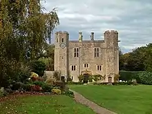
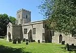
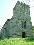
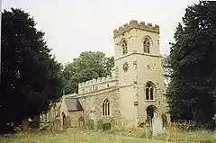
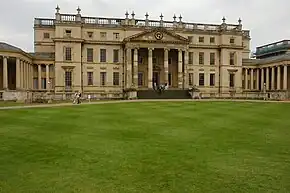
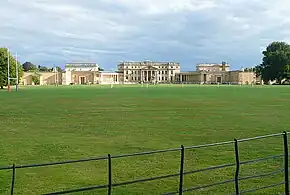
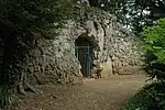
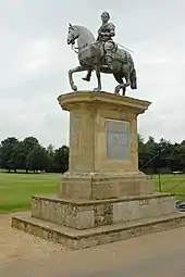
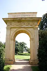
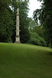
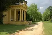
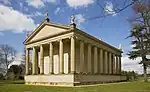
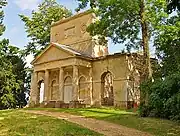
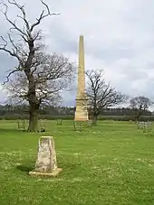
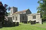
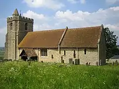
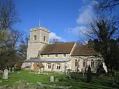
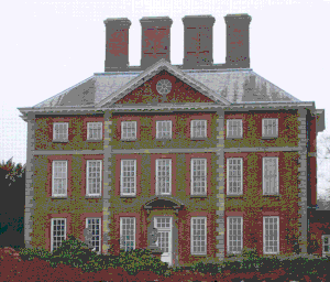
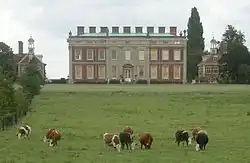
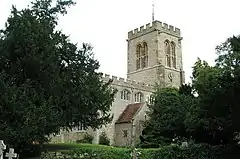
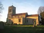
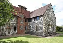
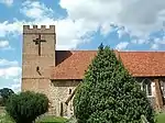
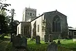
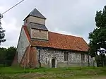
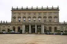
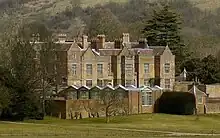
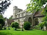
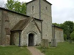
Aylesbury Vale
.jpg.webp)
.jpg.webp)

.jpg.webp)


.jpg.webp)

.jpg.webp)
Aug2005.jpg.webp)


.jpg.webp)
.jpg.webp)


.jpg.webp)


.jpg.webp)


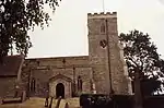
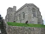
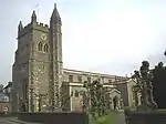
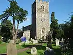
Chiltern


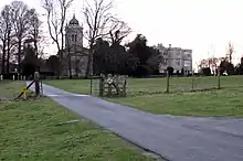
Milton Keynes


_-_geograph.org.uk_-_1654108.jpg.webp)


.jpg.webp)
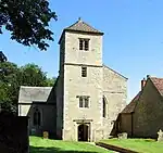
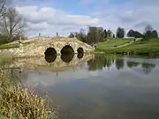
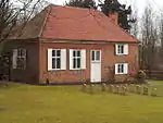
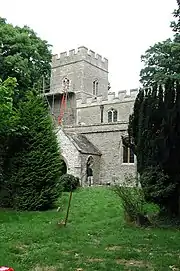
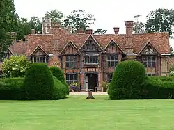
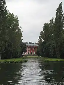
South Bucks
_p1.106_-_Dropmore%252C_Buckinghamshire.jpg.webp)
_(20401221878).jpg.webp)


.jpg.webp)

.jpg.webp)
_(7958617328).jpg.webp)

.jpg.webp)
.JPG.webp)
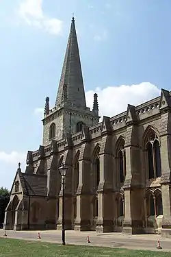
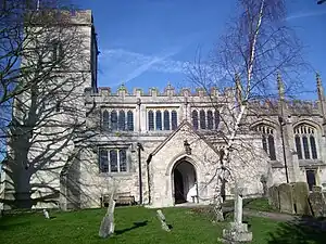
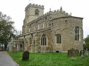
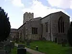
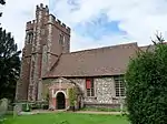
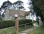
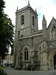
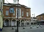
Wycombe


.png.webp)
Notes
- 1 2 3 4 5 The date given is the date used by Historic England as significant for the initial building or that of an important part in the structure's description.
- 1 2 3 4 5 Sometimes known as OSGB36, the grid reference is based on the British national grid reference system used by the Ordnance Survey.
- 1 2 3 4 5 The "List Entry Number" is a unique number assigned to each listed building and scheduled monument by Historic England.
See also
References
- ↑ "Listed Buildings". English Heritage. 2010. Archived from the original on 26 January 2013. Retrieved 22 August 2011.
- ↑ National Heritage List for England] Images of England (original source)
- ↑ http://www.heritagegateway.org.uk/Gateway/Advanced_Search.aspx?reset=true English Heritage Gateway (used to update)
External links
![]() Media related to Grade I listed buildings in Buckinghamshire at Wikimedia Commons
Media related to Grade I listed buildings in Buckinghamshire at Wikimedia Commons
This article is issued from Wikipedia. The text is licensed under Creative Commons - Attribution - Sharealike. Additional terms may apply for the media files.