Goussainville | |
|---|---|
 The church in Goussainville | |
Location of Goussainville | |
 Goussainville 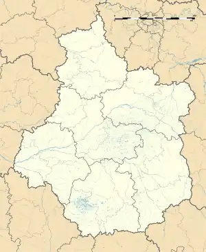 Goussainville | |
| Coordinates: 48°46′37″N 1°33′19″E / 48.7769°N 1.5553°E | |
| Country | France |
| Region | Centre-Val de Loire |
| Department | Eure-et-Loir |
| Arrondissement | Dreux |
| Canton | Anet |
| Intercommunality | Pays houdanais |
| Government | |
| • Mayor (2020–2026) | Michel Cadot[1] |
| Area 1 | 10.83 km2 (4.18 sq mi) |
| Population | 1,309 |
| • Density | 120/km2 (310/sq mi) |
| Time zone | UTC+01:00 (CET) |
| • Summer (DST) | UTC+02:00 (CEST) |
| INSEE/Postal code | 28185 /28410 |
| Elevation | 87–137 m (285–449 ft) (avg. 134 m or 440 ft) |
| 1 French Land Register data, which excludes lakes, ponds, glaciers > 1 km2 (0.386 sq mi or 247 acres) and river estuaries. | |
Goussainville (French pronunciation: [ɡusɛ̃vil] ⓘ) is a commune in the Eure-et-Loir department in northern France. In January 2015 it merged with the former commune of Champagne.
Population
| Year | Pop. | ±% p.a. |
|---|---|---|
| 1968 | 457 | — |
| 1975 | 480 | +0.70% |
| 1982 | 590 | +2.99% |
| 1990 | 840 | +4.51% |
| 1999 | 913 | +0.93% |
| 2007 | 1,072 | +2.03% |
| 2012 | 1,258 | +3.25% |
| 2017 | 1,292 | +0.53% |
| Source: Population in geography as of January 2020, INSEE[3] | ||
See also
References
- ↑ "Répertoire national des élus: les maires". data.gouv.fr, Plateforme ouverte des données publiques françaises (in French). 2 December 2020.
- ↑ "Populations légales 2021". The National Institute of Statistics and Economic Studies. 28 December 2023.
- ↑ Population en historique depuis 1968, INSEE
Wikimedia Commons has media related to Goussainville (Eure-et-Loir).
This article is issued from Wikipedia. The text is licensed under Creative Commons - Attribution - Sharealike. Additional terms may apply for the media files.