Wiesenttal | |
|---|---|
 Coat of arms | |
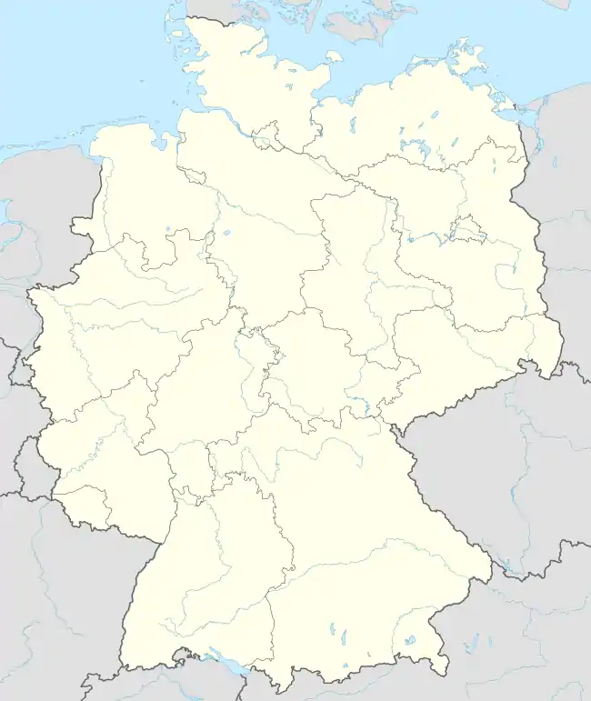
Location of Wiesenttal within Forchheim district  | |
 Wiesenttal 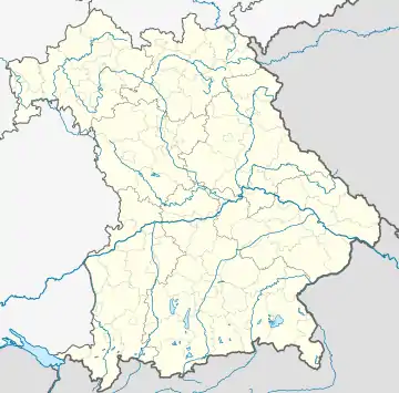 Wiesenttal | |
| Coordinates: 49°47′N 11°16′E / 49.783°N 11.267°E | |
| Country | Germany |
| State | Bavaria |
| Admin. region | Oberfranken |
| District | Forchheim |
| Subdivisions | 21 Ortsteile |
| Government | |
| • Mayor (2020–26) | Marco Trautner[1] |
| Area | |
| • Total | 45.90 km2 (17.72 sq mi) |
| Elevation | 310 m (1,020 ft) |
| Population (2022-12-31)[2] | |
| • Total | 2,573 |
| • Density | 56/km2 (150/sq mi) |
| Time zone | UTC+01:00 (CET) |
| • Summer (DST) | UTC+02:00 (CEST) |
| Postal codes | 91346 |
| Dialling codes | 09196 |
| Vehicle registration | FO |
| Website | www.wiesenttal.de |
Wiesenttal is a municipality in the district of Forchheim in Bavaria in Germany.
Municipal subdivisions
Wiesenttal is divided into 21 parishes:[3]
- Albertshof
- Birkenreuth
- Draisendorf
- Engelhardsberg
- Gößmannsberg
- Haag
- Kuchenmühle
- Muggendorf
- Neudorf
- Niederfellendorf
- Oberfellendorf
- Rauhenberg
- Schottersmühle
- Störnhof
- Streitberg
- Trainmeusel
- Voigendorf
- Wartleiten
- Wohlmannsgesees
- Wöhr
- Wüstenstein
References
- ↑ Liste der ersten Bürgermeister/Oberbürgermeister in kreisangehörigen Gemeinden, Bayerisches Landesamt für Statistik, 15 July 2021.
- ↑ Genesis Online-Datenbank des Bayerischen Landesamtes für Statistik Tabelle 12411-003r Fortschreibung des Bevölkerungsstandes: Gemeinden, Stichtag (Einwohnerzahlen auf Grundlage des Zensus 2011)
- ↑ "Bayerische Landesbibliothek Online (BLO)".
Towns and municipalities in Forchheim (district) | ||
|---|---|---|
| Coat of Arms of Forchheim district | |
This article is issued from Wikipedia. The text is licensed under Creative Commons - Attribution - Sharealike. Additional terms may apply for the media files.