Wólka Horyniecka | |
|---|---|
Village | |
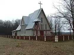 Church in Wólka Horyniecka | |
 Wólka Horyniecka | |
| Coordinates: 50°10′N 23°19′E / 50.167°N 23.317°E | |
| Country | |
| Voivodeship | Subcarpathian |
| County | Lubaczów |
| Gmina | Horyniec-Zdrój |
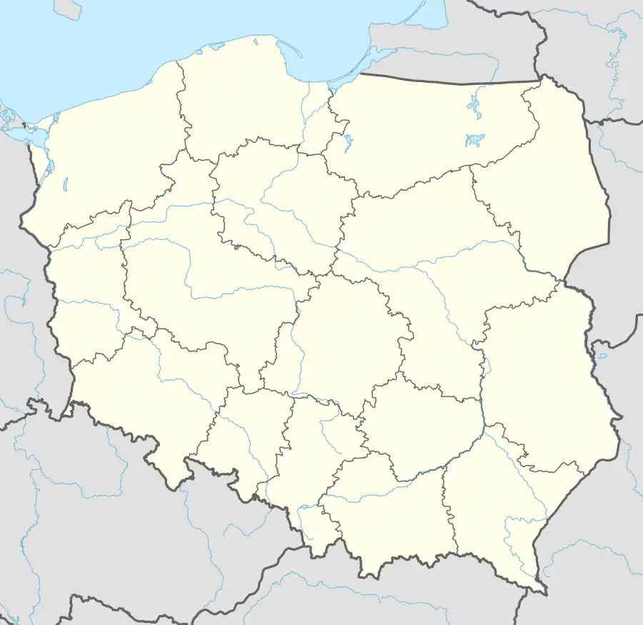
Wólka Horyniecka [ˈvulka xɔrɨˈɲɛt͡ska] is a village in the administrative district of Gmina Horyniec-Zdrój, within Lubaczów County, Subcarpathian Voivodeship, in south-eastern Poland, close to the border with Ukraine.[1] It lies approximately 5 kilometres (3 mi) south-west of Horyniec-Zdrój, 15 km (9 mi) east of Lubaczów, and 95 km (59 mi) east of the regional capital Rzeszów.
References
| Seat |  | |
|---|---|---|
| Other villages | ||
This article is issued from Wikipedia. The text is licensed under Creative Commons - Attribution - Sharealike. Additional terms may apply for the media files.