Valigonda census town | |
|---|---|
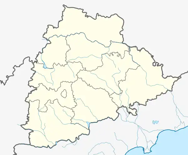 Valigonda census town Location in Telangana, India 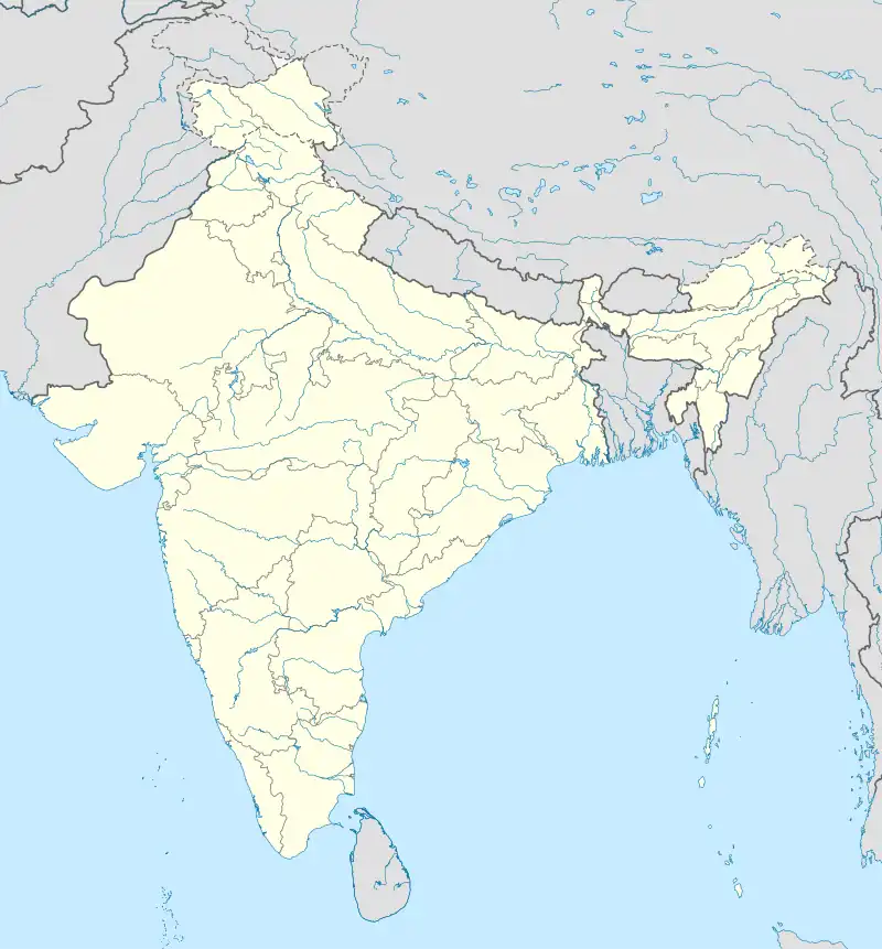 Valigonda census town Valigonda census town (India) | |
| Coordinates: 17°22′00″N 79°03′00″E / 17.3667°N 79.0500°E | |
| Country | |
| State | Telangana |
| District | Bhuvanagiri |
| Government | |
| • Type | Indian National Congress INC |
| • Body | sarpanch as Bolla lalitha, and madal mpp as nuthi ramesh raju,and Kumbam Anil Kumar Reddy as member of legislative assembly to this area |
| Area | |
| • Total | 9.59 km2 (3.70 sq mi) |
| Elevation | 291 m (955 ft) |
| Population (2011)[1] | |
| • Total | 7,324 |
| • Density | 760/km2 (2,000/sq mi) |
| Languages | |
| • Official | Telugu |
| Time zone | UTC+5:30 (IST) |
| Vehicle registration | TS-30 |
| Climate | hot (Köppen) |
| Website | telangana |
Valigonda is a census town in Yadadri Bhuvanagiri district of the Indian state of Telangana. It is located in Valigonda mandal of Bhongir division.[1] It is located on the banks of Musi River. 20 Kms from Bhongir.
Geography
Valigonda is located at 17°22′00″N 79°03′00″E / 17.3667°N 79.0500°E.[2] It has an average elevation of 291 metres (958 ft).
Eminent persons
- V. Eshwaraiah one of the justices of Andhra Pradesh High Court was born in Nemalikaluva village of this mandal.
- B.N.Sastry, Writer
Educational Institutions in Valigonda
- Sri Venkateshwara ZpHigh School Valigonda
- Sri Venkateshwara Junior College Valigonda
Nearest cities
Train accident
The Valigonda rail disaster occurred on 29 October 2005 near the town of Valigonda, south of Hyderabad in the Indian state of Andhra Pradesh. A flash flood swept away a small rail bridge, and a "Delta Fast Passenger" train traveling on it derailed at the broken section of the line, killing at least 114 people and injuring over 200.
References
- 1 2 3 "District Census Handbook – Nalgonda" (PDF). Census of India. p. 13,230. Retrieved 8 February 2016.
- ↑ Valigonda at Fallingrain.com
This article is issued from Wikipedia. The text is licensed under Creative Commons - Attribution - Sharealike. Additional terms may apply for the media files.