| Uqi Chaka | |
|---|---|
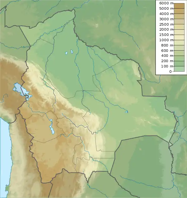 Uqi Chaka Location within Bolivia | |
| Highest point | |
| Elevation | 4,780 m (15,680 ft)[1] |
| Coordinates | 17°10′31″S 67°43′50″W / 17.17528°S 67.73056°W |
| Geography | |
| Location | Bolivia La Paz Department |
| Parent range | Andes |
Uqi Chaka (Aymara uqi brown, grey-brown, chaka bridge,[2] "grey-brown bridge", also spelled Okhe Chaca) is a mountain in the Bolivian Andes which reaches a height of approximately 4,780 m (15,680 ft). It is located in the La Paz Department, Loayza Province, Luribay Municipality. Uqi Chaka lies northeast of Qillwan Quta at the road which connects Patacamaya (Patak Amaya) and Luribay.[1][3]
References
- 1 2 Bolivian IGM map 1:50,000 Sicasica 6042-II
- ↑ Radio San Gabriel, "Instituto Radiofonico de Promoción Aymara" (IRPA) 1993, Republicado por Instituto de las Lenguas y Literaturas Andinas-Amazónicas (ILLLA-A) 2011, Transcripción del Vocabulario de la Lengua Aymara, P. Ludovico Bertonio 1612 (Spanish-Aymara-Aymara-Spanish dictionary)
- ↑ "Luribay". INE, Bolivia. Retrieved February 9, 2016.
This article is issued from Wikipedia. The text is licensed under Creative Commons - Attribution - Sharealike. Additional terms may apply for the media files.