Taufkirchen | |
|---|---|
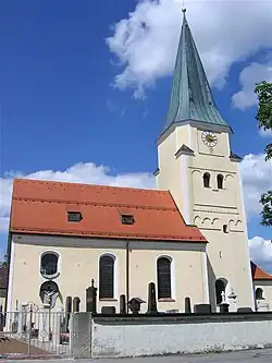 Church of Saint John the Baptist | |
 Coat of arms | |
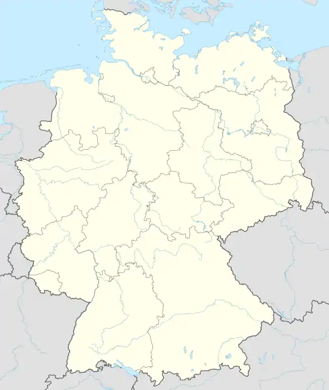
Location of Taufkirchen within Munich district  | |
 Taufkirchen 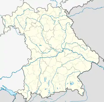 Taufkirchen | |
| Coordinates: 48°3′N 11°37′E / 48.050°N 11.617°E | |
| Country | Germany |
| State | Bavaria |
| Admin. region | Oberbayern |
| District | Munich |
| Government | |
| • Mayor (2020–26) | Ullrich Sander[1] (CSU) |
| Area | |
| • Total | 22.02 km2 (8.50 sq mi) |
| Elevation | 563 m (1,847 ft) |
| Population (2022-12-31)[2] | |
| • Total | 18,185 |
| • Density | 830/km2 (2,100/sq mi) |
| Time zone | UTC+01:00 (CET) |
| • Summer (DST) | UTC+02:00 (CEST) |
| Postal codes | 82024 |
| Dialling codes | 089 |
| Vehicle registration | M |
| Website | www.taufkirchen-mucl.de |
Taufkirchen is a small community south of Munich, near Oberhaching and Unterhaching in Bavaria, southern Germany.
The Realschule is named after Walter Klingenbeck. In general, the German location of EADS, more commonly called Airbus, is considered to be in the neighbouring community Ottobrunn, but most of the ground area belongs to Taufkirchen.
References
- ↑ Liste der ersten Bürgermeister/Oberbürgermeister in kreisangehörigen Gemeinden, Bayerisches Landesamt für Statistik, 15 July 2021.
- ↑ Genesis Online-Datenbank des Bayerischen Landesamtes für Statistik Tabelle 12411-003r Fortschreibung des Bevölkerungsstandes: Gemeinden, Stichtag (Einwohnerzahlen auf Grundlage des Zensus 2011)
External links
This article is issued from Wikipedia. The text is licensed under Creative Commons - Attribution - Sharealike. Additional terms may apply for the media files.