Tadoule Lake Airport | |||||||||||
|---|---|---|---|---|---|---|---|---|---|---|---|
| Summary | |||||||||||
| Airport type | Public | ||||||||||
| Operator | Government of Manitoba | ||||||||||
| Location | Tadoule Lake, Manitoba | ||||||||||
| Time zone | CST (UTC−06:00) | ||||||||||
| • Summer (DST) | CDT (UTC−05:00) | ||||||||||
| Elevation AMSL | 922 ft / 281 m | ||||||||||
| Coordinates | 58°42′22″N 098°30′44″W / 58.70611°N 98.51222°W | ||||||||||
| Map | |||||||||||
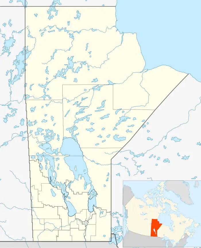 CYBQ Location in Manitoba | |||||||||||
| Runways | |||||||||||
| |||||||||||
| Statistics (2010) | |||||||||||
| |||||||||||
Tadoule Lake Airport (IATA: XTL, ICAO: CYBQ) is located 0.6 nautical miles (1.1 km; 0.69 mi) southwest of Tadoule Lake, Manitoba, Canada.
Airlines and destinations
| Airlines | Destinations |
|---|---|
| Perimeter Aviation | Lac Brochet, Thompson[4] |
References
- ↑ Canada Flight Supplement. Effective 0901Z 16 July 2020 to 0901Z 10 September 2020.
- ↑ Synoptic/Metstat Station Information
- ↑ Total aircraft movements by class of operation
- ↑ Perimeter Aviation Destinations Routes
External links
Wikimedia Commons has media related to Tadoule Lake Airport.
| By name | |
|---|---|
| By location indicator | |
| By province/territory | |
| By area | |
| National Airports System | |
| Related | |
| |
This article is issued from Wikipedia. The text is licensed under Creative Commons - Attribution - Sharealike. Additional terms may apply for the media files.