Stall | |
|---|---|
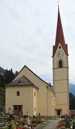 Stall parish church | |
 Coat of arms | |
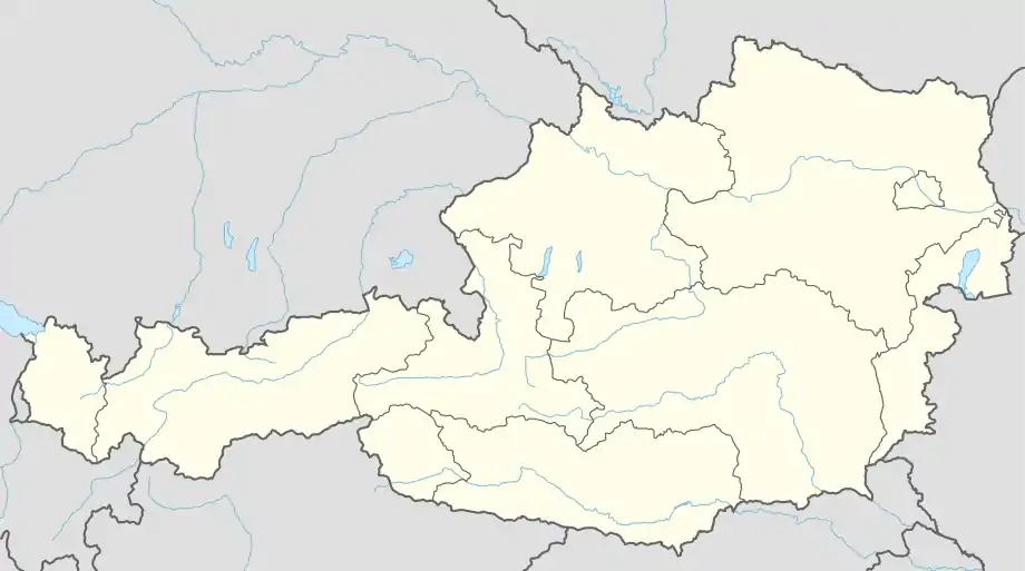 Stall Location within Austria | |
| Coordinates: 46°53′N 13°2′E / 46.883°N 13.033°E | |
| Country | Austria |
| State | Carinthia |
| District | Spittal an der Drau |
| Government | |
| • Mayor | Peter Ebner |
| Area | |
| • Total | 96.4 km2 (37.2 sq mi) |
| Elevation | 867 m (2,844 ft) |
| Population (2018-01-01)[2] | |
| • Total | 1,575 |
| • Density | 16/km2 (42/sq mi) |
| Time zone | UTC+1 (CET) |
| • Summer (DST) | UTC+2 (CEST) |
| Postal code | 9832 |
| Area code | 04823 |
| Website | www.gemeinde-stall.at |
Stall is a municipality in the district of Spittal an der Drau in the Austrian state of Carinthia.
Geography
Stall lies in the central Möll Valley, between the Goldberg Group on the north and the Kreuzeck Group on the south.
References
- ↑ "Dauersiedlungsraum der Gemeinden Politischen Bezirke und Bundesländer - Gebietsstand 1.1.2018". Statistics Austria. Retrieved 10 March 2019.
- ↑ "Einwohnerzahl 1.1.2018 nach Gemeinden mit Status, Gebietsstand 1.1.2018". Statistics Austria. Retrieved 9 March 2019.
Wikimedia Commons has media related to Stall (Mölltal).
This article is issued from Wikipedia. The text is licensed under Creative Commons - Attribution - Sharealike. Additional terms may apply for the media files.