Spermezeu | |
|---|---|
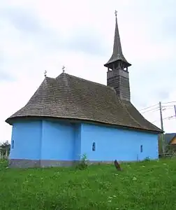 Wooden church in Spermezeu | |
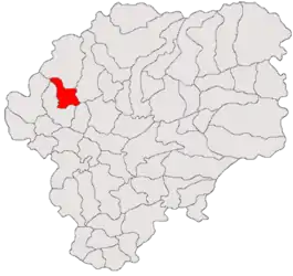 Location in Bistrița-Năsăud County | |
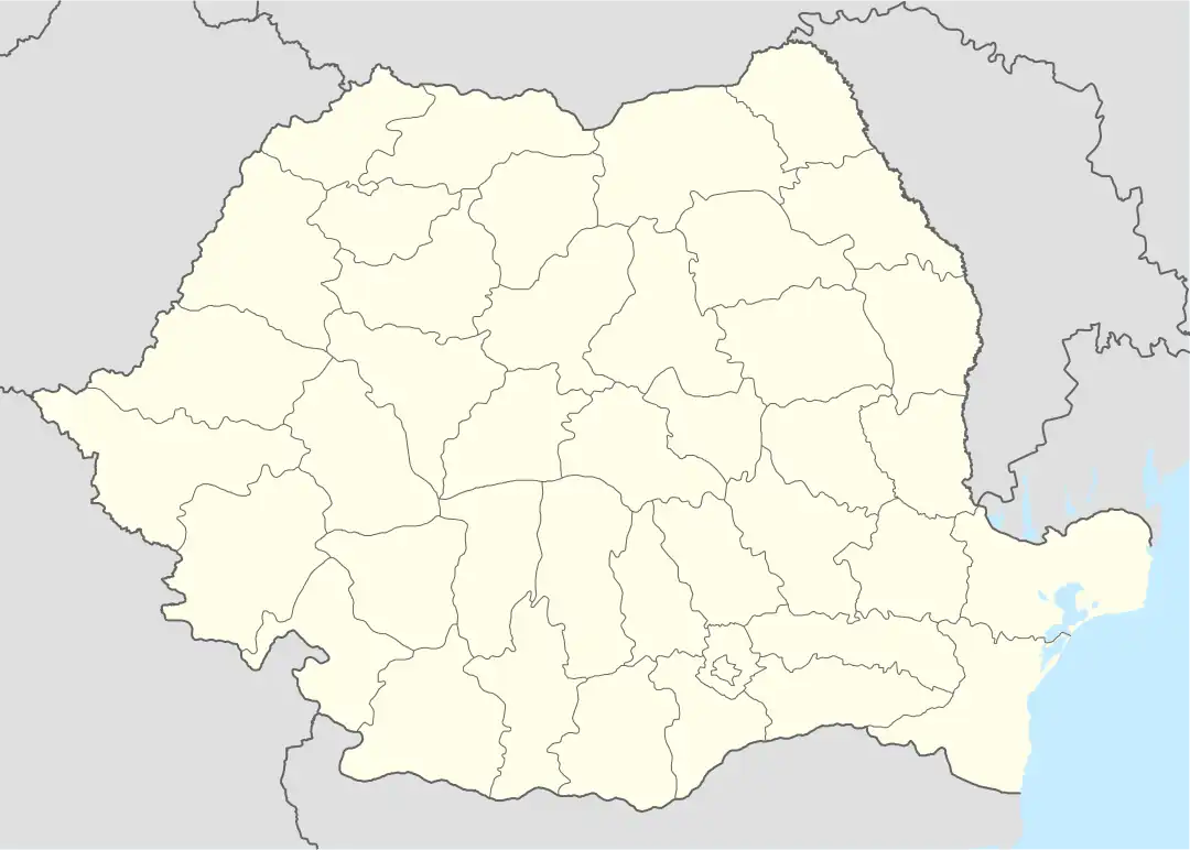 Spermezeu Location in Romania | |
| Coordinates: 47°18′N 24°9′E / 47.300°N 24.150°E | |
| Country | Romania |
| County | Bistrița-Năsăud |
| Government | |
| • Mayor (2020–2024) | Sorin Hognogi (PNL) |
| Area | 69.64 km2 (26.89 sq mi) |
| Elevation | 342 m (1,122 ft) |
| Population (2021-12-01)[1] | 3,445 |
| • Density | 49/km2 (130/sq mi) |
| Time zone | EET/EEST (UTC+2/+3) |
| Postal code | 427275 |
| Area code | +40 x59 |
| Vehicle reg. | BN |
| Website | comunaspermezeu |
Spermezeu (Hungarian: Ispánmező) is a commune in Bistrița-Năsăud County, Transylvania, Romania. It is composed of eight villages: Dobricel (Kisdebrek), Dumbrăvița (Dögmező), Hălmăsău (Helmesaljavölgy), Lunca Borlesei, Păltineasa (Jávorvölgy), Sita (Szita), Spermezeu, and Șesuri Spermezeu-Vale (Síktelep). Dobricel and Dumbrăvița were part of Căianu Mic Commune until 2004.
The commune is situated in a hilly area at the northern edge of the Transylvanian Plateau, on the banks of the river Ilișua. It is located in the western part of Bistrița-Năsăud County, about 21 km (13 mi) from the town of Beclean and 46 km (29 mi) from the county seat, Bistrița.
References
 Wooden church in Dobricel

This article is issued from Wikipedia. The text is licensed under Creative Commons - Attribution - Sharealike. Additional terms may apply for the media files.