Sokołowiec | |
|---|---|
Village | |
.jpg.webp) Fields, part of a central Sokołowiec and Ostrzyca hill in the background | |
 Sokołowiec | |
| Coordinates: 51°2′N 15°49′E / 51.033°N 15.817°E | |
| Country | |
| Voivodeship | Lower Silesian |
| County | Złotoryja |
| Gmina | Świerzawa |
Sokołowiec ([sɔkɔˈwɔvjɛt͡s]) (German: Falkenhain) is a village in the administrative district of Gmina Świerzawa, within Złotoryja County, Lower Silesian Voivodeship, in south-western Poland.[1]
It lies approximately 7 kilometres (4 mi) west of Świerzawa, 14 kilometres (9 mi) south-west of Złotoryja, and 87 kilometres (54 mi) west of the regional capital Wrocław.
Gallery
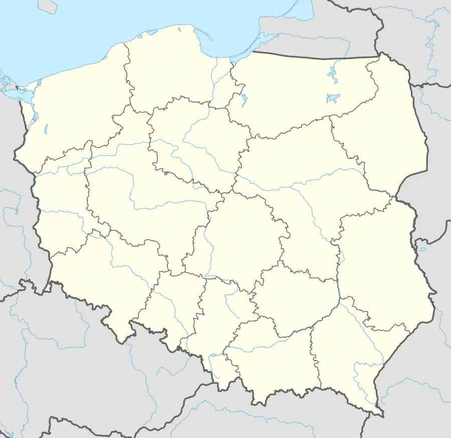
 Palace in upper Sokołowiec
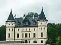
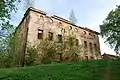 Ruin of a palace in central Sokołowiec
 Saint Hedwig church
.jpg.webp) House by the road
House by the road
References
Wikimedia Commons has media related to Sokołowiec, Lower Silesian Voivodeship.
| Town and seat |  | |
|---|---|---|
| Villages |
| |
This article is issued from Wikipedia. The text is licensed under Creative Commons - Attribution - Sharealike. Additional terms may apply for the media files.