| Site of Special Scientific Interest | |
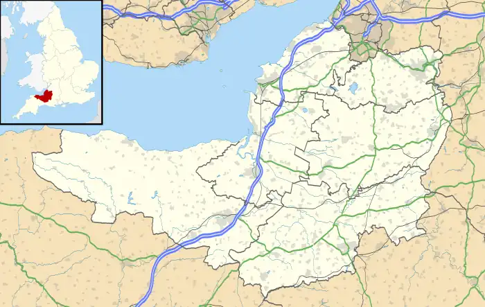 Location within Somerset | |
| Location | Somerset |
|---|---|
| Grid reference | ST686316 |
| Coordinates | 51°04′58″N 2°26′59″W / 51.08285°N 2.44965°W |
| Interest | Geological |
| Area | 1.61 hectares (0.0161 km2; 0.0062 sq mi) |
| Notification | 1992 |
| Natural England website | |
Shepton Montague Railway Cutting (grid reference ST686316) is a 1.61 hectare geological Site of Special Scientific Interest at Shepton Montague in Somerset, notified in 1992.
It, which was part of the Somerset and Dorset Joint Railway, the section of Fuller's Earth Rock (Middle Jurassic) in England. The succession ranges from the upper part of the Lower Fuller's Earth Clay up to the Rugitela Beds.[1]
References
- ↑ English Nature citation sheet for the site (accessed 9 August 2006)
External links
- English Nature website (SSSI information)
This article is issued from Wikipedia. The text is licensed under Creative Commons - Attribution - Sharealike. Additional terms may apply for the media files.