Serverette | |
|---|---|
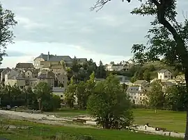 A general view of Serverette | |
 Coat of arms | |
Location of Serverette | |
 Serverette 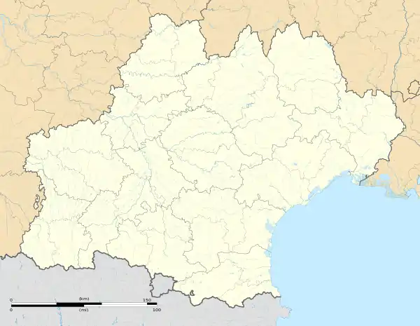 Serverette | |
| Coordinates: 44°42′18″N 3°23′12″E / 44.70500°N 3.3867°E | |
| Country | France |
| Region | Occitania |
| Department | Lozère |
| Arrondissement | Mende |
| Canton | Saint-Alban-sur-Limagnole |
| Intercommunality | Terres d'Apcher-Margeride-Aubrac |
| Government | |
| • Mayor (2020–2026) | Séverine Cornut[1] |
| Area 1 | 17.35 km2 (6.70 sq mi) |
| Population | 248 |
| • Density | 14/km2 (37/sq mi) |
| Time zone | UTC+01:00 (CET) |
| • Summer (DST) | UTC+02:00 (CEST) |
| INSEE/Postal code | 48188 /48700 |
| Elevation | 959–1,106 m (3,146–3,629 ft) (avg. 976 m or 3,202 ft) |
| 1 French Land Register data, which excludes lakes, ponds, glaciers > 1 km2 (0.386 sq mi or 247 acres) and river estuaries. | |
Serverette (French pronunciation: [sɛʁvəʁɛt]; Occitan: Cerveireta) is a commune in the Lozère department in southern France.[3]
See also
References
- ↑ "Répertoire national des élus: les maires" (in French). data.gouv.fr, Plateforme ouverte des données publiques françaises. 13 September 2022.
- ↑ "Populations légales 2021". The National Institute of Statistics and Economic Studies. 28 December 2023.
- ↑ INSEE commune file
Wikimedia Commons has media related to Serverette.
This article is issued from Wikipedia. The text is licensed under Creative Commons - Attribution - Sharealike. Additional terms may apply for the media files.