Serres-Sainte-Marie | |
|---|---|
Location of Serres-Sainte-Marie | |
 Serres-Sainte-Marie 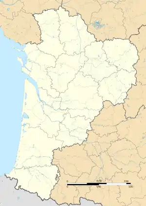 Serres-Sainte-Marie | |
| Coordinates: 43°24′56″N 0°33′07″W / 43.4156°N 0.5519°W | |
| Country | France |
| Region | Nouvelle-Aquitaine |
| Department | Pyrénées-Atlantiques |
| Arrondissement | Pau |
| Canton | Artix et Pays de Soubestre |
| Intercommunality | Lacq-Orthez |
| Government | |
| • Mayor (2020–2026) | Gérard Ducos[1] |
| Area 1 | 9.49 km2 (3.66 sq mi) |
| Population | 600 |
| • Density | 63/km2 (160/sq mi) |
| Time zone | UTC+01:00 (CET) |
| • Summer (DST) | UTC+02:00 (CEST) |
| INSEE/Postal code | 64521 /64170 |
| Elevation | 124–252 m (407–827 ft) (avg. 182 m or 597 ft) |
| 1 French Land Register data, which excludes lakes, ponds, glaciers > 1 km2 (0.386 sq mi or 247 acres) and river estuaries. | |
Serres-Sainte-Marie (French pronunciation: [sɛʁ sɛ̃t maʁi]; Occitan: Sèrra de Senta Maria) is a commune in the Pyrénées-Atlantiques department in south-western France.
See also
References
- ↑ "Répertoire national des élus: les maires". data.gouv.fr, Plateforme ouverte des données publiques françaises (in French). 2 December 2020.
- ↑ "Populations légales 2021". The National Institute of Statistics and Economic Studies. 28 December 2023.
Wikimedia Commons has media related to Serres-Sainte-Marie.
This article is issued from Wikipedia. The text is licensed under Creative Commons - Attribution - Sharealike. Additional terms may apply for the media files.