Selam | |
|---|---|
village | |
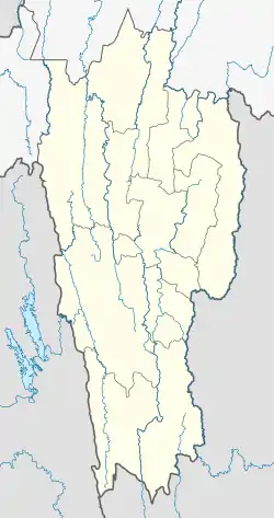 Selam Location in Mizoram, India 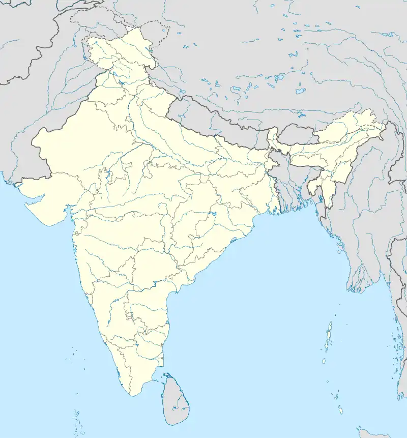 Selam Selam (India) | |
| Coordinates: 23°48′12″N 93°17′30″E / 23.8034409°N 93.2916906°E | |
| Country | India |
| State | Mizoram |
| District | Champhai |
| Block | Ngopa |
| Elevation | 1,062 m (3,484 ft) |
| Population (2011) | |
| • Total | 1,017 |
| Time zone | UTC+5:30 (IST) |
| 2011 census code | 271298 |
Selam is a village in the Champhai district of Mizoram, India.[1]
Demographics
According to the 2011 census of India, Selam has 209 households. The effective literacy rate (i.e. the literacy rate of population excluding children aged 6 and below) is 98.86%.[2]
| Total | Male | Female | |
|---|---|---|---|
| Population | 1017 | 524 | 493 |
| Children aged below 6 years | 228 | 123 | 105 |
| Scheduled caste | 0 | 0 | 0 |
| Scheduled tribe | 963 | 496 | 467 |
| Literates | 780 | 397 | 383 |
| Workers (all) | 472 | 239 | 233 |
| Main workers (total) | 463 | 234 | 229 |
| Main workers: Cultivators | 430 | 211 | 219 |
| Main workers: Agricultural labourers | 0 | 0 | 0 |
| Main workers: Household industry workers | 0 | 0 | 0 |
| Main workers: Other | 33 | 23 | 10 |
| Marginal workers (total) | 9 | 5 | 4 |
| Marginal workers: Cultivators | 2 | 1 | 1 |
| Marginal workers: Agricultural labourers | 0 | 0 | 0 |
| Marginal workers: Household industry workers | 0 | 0 | 0 |
| Marginal workers: Others | 7 | 4 | 3 |
| Non-workers | 545 | 285 | 260 |
References
- ↑ "Mizoram villages" (PDF). Land Records Information Systems Division, NIC. Retrieved 22 August 2015.
- 1 2 "District Census Handbook - Champhai" (PDF). 2011 Census of India. Directorate of Census Operations, Mizoram. Retrieved 22 August 2015.
This article is issued from Wikipedia. The text is licensed under Creative Commons - Attribution - Sharealike. Additional terms may apply for the media files.