San Matías Airport | |||||||||||
|---|---|---|---|---|---|---|---|---|---|---|---|
| Summary | |||||||||||
| Airport type | Public | ||||||||||
| Serves | San Matías, Bolivia | ||||||||||
| Elevation AMSL | 406 ft / 124 m | ||||||||||
| Coordinates | 16°20′15″S 58°24′05″W / 16.33750°S 58.40139°W | ||||||||||
| Map | |||||||||||
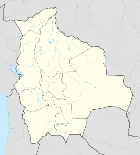 SLTI Location of San Matías Airport in Bolivia | |||||||||||
| Runways | |||||||||||
| |||||||||||
San Matías Airport Spanish: Aeropuerto San Matías, (IATA: MQK, ICAO: SLTI) is an airport serving the town of San Matías in the Santa Cruz Department of Bolivia.
The runway is 1.4 kilometres (0.87 mi) north of the town and 3 kilometres (1.9 mi) southeast of Bolivia's border with Brazil.
The San Matias non-directional beacon(Ident: SMT) is located at the north end of the field.[4]
See also
References
- ↑ Airport record for San Matías Airport at Landings.com. Retrieved 2013-09-02
- ↑ Google (2013-09-02). "location of San Matías Airport" (Map). Google Maps. Google. Retrieved 2013-09-02.
- ↑ Airport information for San Matías Airport at Great Circle Mapper.
- ↑ San Matias NDB
External links
- OpenStreetMap - San Matías
- OurAirports - San Matías
- SkyVector - San Matías
- Fallingrain - San Matías Airport
- Accident history for San Matías Airport at Aviation Safety Network
- Current weather for San Matías Airport at NOAA/NWS
This article is issued from Wikipedia. The text is licensed under Creative Commons - Attribution - Sharealike. Additional terms may apply for the media files.