Rural Municipality of Portage la Prairie | |
|---|---|
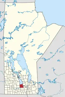 Location of the RM of Portage la Prairie in Manitoba | |
| Coordinates: 50°02′56″N 98°12′58″W / 50.04889°N 98.21611°W | |
| Country | Canada |
| Province | Manitoba |
| Area | |
| • Land | 1,961.97 km2 (757.52 sq mi) |
| Population | |
| • Total | 6,975 |
| Time zone | UTC-6 (CST) |
| • Summer (DST) | UTC-5 (CDT) |
| Area codes | 204 and 431 |
Portage la Prairie is a rural municipality (RM) in the province of Manitoba in Western Canada. It surrounds the city of Portage la Prairie, Manitoba's fifth-largest city. Also within the borders of the municipality are the Dakota Plains First Nation and most of the Long Plain First Nation Indian reserves.
Communities
Demographics
In the 2021 Census of Population conducted by Statistics Canada, Portage la Prairie had a population of 6,888 living in 2,167 of its 2,456 total private dwellings, a change of -1.2% from its 2016 population of 6,975. With a land area of 1,973.45 km2 (761.95 sq mi), it had a population density of 3.5/km2 (9.0/sq mi) in 2021.[2]
References
- 1 2 "Population and dwelling counts, for Canada, provinces and territories, and census subdivisions (municipalities), 2016 and 2011 censuses – 100% data (Manitoba)". Statistics Canada. February 7, 2018. Retrieved January 15, 2022.
- ↑ "Population and dwelling counts: Canada, provinces and territories, and census subdivisions (municipalities), Manitoba". Statistics Canada. February 9, 2022. Retrieved February 20, 2022.
External links
Places adjacent to Rural Municipality of Portage la Prairie | ||||||||||||||||
|---|---|---|---|---|---|---|---|---|---|---|---|---|---|---|---|---|
| ||||||||||||||||
| Cities |  | ||
|---|---|---|---|
| Villages |
| ||
| Rural municipalities | |||
| First Nations | |||
| Indian reserves | |||
| Unincorporated communities | |||
This article is issued from Wikipedia. The text is licensed under Creative Commons - Attribution - Sharealike. Additional terms may apply for the media files.