Rohovládova Bělá | |
|---|---|
_04.JPG.webp) Church of Saints Peter and Paul | |
 Flag  Coat of arms | |
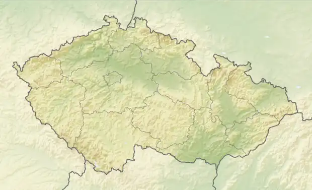 Rohovládova Bělá Location in the Czech Republic | |
| Coordinates: 50°6′23″N 15°36′22″E / 50.10639°N 15.60611°E | |
| Country | |
| Region | Pardubice |
| District | Pardubice |
| First mentioned | 1282 |
| Area | |
| • Total | 4.43 km2 (1.71 sq mi) |
| Elevation | 263 m (863 ft) |
| Population (2023-01-01)[1] | |
| • Total | 596 |
| • Density | 130/km2 (350/sq mi) |
| Time zone | UTC+1 (CET) |
| • Summer (DST) | UTC+2 (CEST) |
| Postal code | 533 43 |
| Website | www |
Rohovládova Bělá is a municipality and village in Pardubice District in the Pardubice Region of the Czech Republic. It has about 600 inhabitants.
History
The first written mention of Bělá is from 1282 when a wooden chapel building had been set up here. The area was owned by the Bukůvka family. In 1375 was their land divided among five brothers and Bělá became property of Rohovlád Bukůvka. The village was named Bělá until 1923, when it got renamed to Rohovládova Bělá as result of a request by municipal councilors.[2]
References
- ↑ "Population of Municipalities – 1 January 2023". Czech Statistical Office. 2023-05-23.
- ↑ "Z historie obce" (in Czech). Obec Rohovládova Bělá. Retrieved 2021-10-13.
External links
Wikimedia Commons has media related to Rohovládova Bělá.
This article is issued from Wikipedia. The text is licensed under Creative Commons - Attribution - Sharealike. Additional terms may apply for the media files.