Rajcharadi | |
|---|---|
Village | |
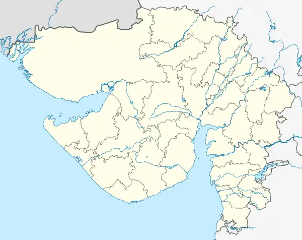 Rajcharadi Location in Gujarat, India  Rajcharadi Rajcharadi (India) | |
| Coordinates: 22°55′44″N 71°37′32″E / 22.92889°N 71.62556°E | |
| Country | |
| State | Gujarat |
| District | Surendranagar District |
| Elevation | 54 m (177 ft) |
| Population | |
| • Total | 2,469 |
| Languages | |
| • Official | Gujarati (State),[1] Hindi (Federal) |
| Time zone | UTC+5:30 (IST) |
| PIN | 363320 |
| Telephone code | 02754 |
| Vehicle registration | GJ |
| Nearest cities | Wadhwan, Limbdi, Viramgam and Thangadh |
| Climate | Dry almost (Köppen) |
| Website | gujaratindia |
Rajcharadi is a village in the Surendranagar district of Gujarat, India. Rajcharadi is surrounded by Lakhtar taluka towards the east, Surendranagar taluka towards the west, Wadhwan taluka to the north and Muli taluka at the south. Rajcharadi's Postal Index Number code is 363320 and the postal head office is Surendranagar.[2]
References
- ↑ "Ethnologue report for language code: guj". Archive.ethnologue.com. Retrieved 14 August 2014.
- ↑ "Rajcharadi Pin Code Details". IndianPostCodes.com. Retrieved 24 August 2014.
This article is issued from Wikipedia. The text is licensed under Creative Commons - Attribution - Sharealike. Additional terms may apply for the media files.