| Pic de Sauvegarde | |
|---|---|
 | |
| Highest point | |
| Elevation | 2,737 metres (8,980 ft)[1] |
| Coordinates | 42°41′41″N 0°37′51″E / 42.69472°N 0.63083°E |
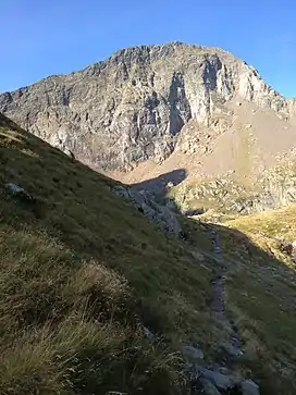
Pic de Sauvegarde is a mountain in the Pyrenees on the border between France and Spain.[1] It has an altitude of 2737 m.[1]
References
- 1 2 3 "Pic de Sauvegarde". Nouv‘l‘air (in French). Retrieved 2020-12-15.
This article is issued from Wikipedia. The text is licensed under Creative Commons - Attribution - Sharealike. Additional terms may apply for the media files.