Bintang Mountains Regency
Kabupaten Pegunungan Bintang | |
|---|---|
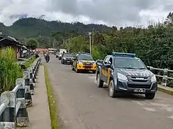 A road in Oksibil, Pegunungan Bintang Regency | |
 Coat of arms | |
| Motto(s): Terip Tibo Semo Nirya (Let's Rise to Build Together) | |
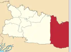 Location in Highland Papua | |
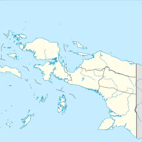 Bintang Mountains Regency Location in Indonesian Papua 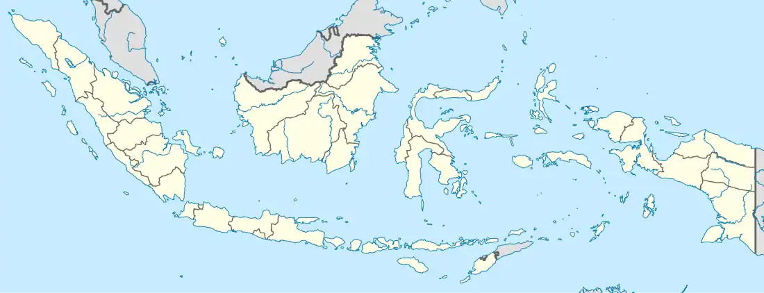 Bintang Mountains Regency Location in Indonesia | |
| Coordinates: 4°31′18″S 140°17′43″E / 4.5217°S 140.2954°E | |
| Country | Indonesia |
| Province | Highland Papua |
| Seat | Oksibil |
| Government | |
| • Regent | Costan Oktemka |
| • Vice Regent | Decky Deal |
| Area | |
| • Total | 15,683 km2 (6,055 sq mi) |
| Population (mid 2022 estimate)[1] | |
| • Total | 78,466 |
| • Density | 5.0/km2 (13/sq mi) |
| Time zone | UTC+9 (Indonesia Eastern Time) |
| Area code | (+62) 975 |
| Website | pegbintangkab.go.id |
Pegunungan Bintang Regency or Bintang Mountains Regency is a regency in the Indonesian province of Highland Papua. It was created on 11 December 2002 from the north-eastern districts of Jayawijaya Regency. It covers an area of 15,683 km2, and had a population of 65,434 at the 2010 Census[2] and 77,872 at the 2020 Census;[3] the official estimate as at mid 2022 was 78,466 - comprising 42,362 males and 36,104 females.[1] The administrative centre is the town of Oksibil.
Name
Pegunungan Bintang is the Indonesian name for the Star Mountains, a mountain range that is also shared by Papua New Guinea. Similarly, Star Mountains Rural LLG in Western Province, Papua New Guinea is also named after the same mountain range.
Languages
The Yetfa and Murkim languages are spoken in the eponymous Yetfa and Murkim districts. Other indigenous Papuan languages of Pegunungan Bintang Regency are Lepki (Lepki-Murkim family), Kimki (isolate), Towei (Pauwasi), Emem (Pauwasi), and Burumakok (Ok, Trans-New Guinea).[4]
Administrative Districts
The Bintang Mountains Regency comprises thirty-four districts (distrik), tabulated below with their current areas and their populations within those current areas at the 2010 Census[2] and 2020 Census,[3] together with the official estimates as at mid 2022.[1] The table also includes the locations of the district administrative centres, the number of administrative villages (kampung) in each district, and its post code.
| Kode Wilayah | Name of District (distrik) | Area in km2 | Pop'n 2010 Census | Pop'n 2020 Census | Pop'n mid 2022 Estimate | Admin centre | No. of villages | Post code |
|---|---|---|---|---|---|---|---|---|
| 95.02.04 | Iwur | 833 | 2,279 | 1,530 | 1,554 | Iwur | 10 | 99432 |
| 95.02.17 | Kawor | 835 | 1,084 | 790 | 798 | Arintap | 7 | 99433 |
| 95.02.19 | Tarup | 470 | 1,235 | 1,130 | 1,146 | Tarup | 7 | 99434 |
| 95.02.18 | Awinbon | 872 | 517 | 730 | 733 | Awinbon | 5 | 99431 |
| 95.02.01 | Oksibil | 248 | 4,087 | 6,410 | 6,537 | Mabilabol | 8 | 99415 |
| 95.02.09 | Pepera | 196 | 1,173 | 1,560 | 1,579 | Pepera | 7 | 99417 |
| 95.02.11 | Alemson | 476 | 2,021 | 3,070 | 3,915 | Alemson | 12 | 99411 |
| 95.02.15 | Serambakon | 265 | 1,935 | 3,900 | 3,108 | Wanbakon | 8 | 99418 |
| 95.02.13 | Kalomdol | 124 | 1,185 | 2,030 | 2,067 | Dabolding | 5 | 99412 |
| 95.02.14 | Oksop | 317 | 1,948 | 2,170 | 2,182 | Oksop | 5 | 99416 |
| 95.02.24 | Oksebang | 22 | 611 | 670 | 684 | Kubiphkop | 4 | 99427 |
| 95.02.12 | Okbape | 246 | 799 | 1,210 | 1,221 | Bape | 6 | 99414 |
| 95.02.16 | Ok Aom | 133 | 1,222 | 1,310 | 1,324 | Bulankop | 6 | 99413 |
| 95.02.06 | Borme | 602 | 2,845 | 5,920 | 5,940 | Borme | 13 | 99452 |
| 95.02.10 | Bime | 726 | 3,922 | 6,910 | 6,936 | Turwe | 10 | 99451 |
| 95.02.32 | Eipumek | 306 | 4,071 | 2,070 | 2,079 | Eipumek | 14 | 99453 |
| 95.02.27 | Weime | 261 | 2,529 | 1,340 | 1,347 | Weime | 9 | 99446 |
| 95.02.33 | Pamek | 204 | 1,876 | 1,430 | 1,437 | Pamek | 11 | 99454 |
| 95.02.34 | Nongme | 526 | 2,042 | 1,020 | 1,025 | Nongme | 7 | 99445 |
| 95.02.26 | Batani | 833 | 1,401 | 1,330 | 1,333 | Batani | 7 | 99441 |
| 95.02.03 | Okbibab | 237 | 1,918 | 3,640 | 3,662 | Abmisibil | 12 | 99403 |
| 95.02.08 | Aboy | 1,054 | 975 | 1,180 | 1,189 | Aboy | 7 | 99401 |
| 95.02.25 | Okbab | 617 | 3,390 | 4,210 | 4,234 | Borban | 12 | 99403 |
| 95.02.31 | Teiraplu | 1,469 | 1,356 | 2,020 | 2,029 | Teiraplu | 10 | 99405 |
| 95.02.30 | Jefta | 330 | 611 | 870 | 873 | Jefta | 6 | 99402 |
| 95.02.02 | Kiwirok | 254 | 2,679 | 3,020 | 3,036 | Polobakon | 12 | 99421 |
| 95.02.07 | Kiwirok Timur (East Kiwirok) | 404 | 1,942 | 2,430 | 2,443 | Okyop | 9 | 99422 |
| 95.02.20 | Okhika | 91 | 1,318 | 1,690 | 1,698 | Okelwel | 4 | 99424 |
| 95.02.22 | Oklip | 46 | 1,640 | 2,110 | 2,123 | Oklip | 7 | 99425 |
| 95.02.21 | Oksamol | 267 | 2,322 | 2,740 | 2,750 | Tinibil | 12 | 99426 |
| 95.02.04 | Batom | 476 | 4,144 | 4,050 | 4,067 | Batom | 11 | 99442 |
| 95.02.28 | Murkim | 359 | 675 | 810 | 814 | Bias | 4 | 99444 |
| 95.02.19 | Mofinop | 811 | 1,128 | 1,010 | 1,017 | Mot | 5 | 99443 |
| 95.02.23 | Okbemtau | 769 | 2,554 | 1,580 | 1,586 | Okngam | 9 | 99423 |
| Totals | 15,683 | 65,434 | 77,872 | 78,466 | Oksibil | 277 |
The number of districts increased dramatically prior to 2010, created by the division of the six original districts (whose names are given in bold above and are numbered from 95.02.01 to 95.02.06). The 28 new districts (numbered from 95.02.07 to 95.02.34) are shown as follows:
- Kawor, Tarup, and Awinbon were created from parts of Iwur District
- Pepera, Alemsom, Serambakon, Kolomdol, Oksop, Ok Sebang (formerly Sebang), Ok Bape, and Ok Aon were created from parts of Oksibil District
- Bime, Epumek, Weime, Pamek, Nongme, and Batani were created from parts of Borme District
- Aboy, Okbab, Teiraplu, and Yefta were created from parts of Okbi District
- East Kiwirok, Okhika, Oklip, and Oksamol (formerly Warasamo) were created from parts of Kiwirok District
- Murkim, Mofinop, and Okbemta were created from parts of Batom District
See also
References
- 1 2 3 Badan Pusat Statistik, Jakarta, 2023, Kabupaten Pegunungan Bintang Dalam Angka 2023 (Katalog-BPS 1102001.9502)
- 1 2 Biro Pusat Statistik, Jakarta, 2011.
- 1 2 Badan Pusat Statistik, Jakarta, 2021.
- ↑ Eberhard, David M.; Simons, Gary F.; Fennig, Charles D., eds. (2019). "Indonesia languages". Ethnologue: Languages of the World (22nd ed.). Dallas: SIL International.
External links
Regencies and cities of Highland Papua | ||
|---|---|---|
Capital: Wamena | ||
| Regencies |  | |