Patokryje | |
|---|---|
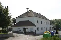 Municipal office | |
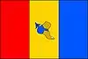 Flag 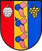 Coat of arms | |
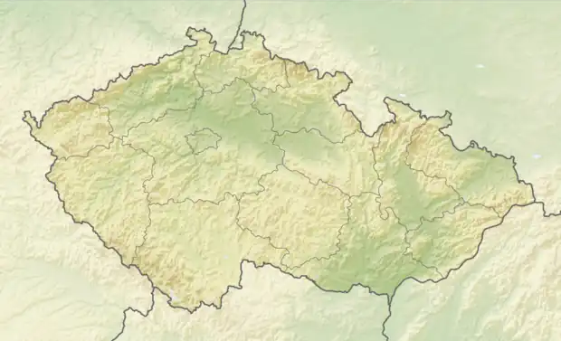 Patokryje Location in the Czech Republic | |
| Coordinates: 50°30′0″N 13°42′19″E / 50.50000°N 13.70528°E | |
| Country | |
| Region | Ústí nad Labem |
| District | Most |
| First mentioned | 1342 |
| Area | |
| • Total | 2.63 km2 (1.02 sq mi) |
| Elevation | 221 m (725 ft) |
| Population (2023-01-01)[1] | |
| • Total | 450 |
| • Density | 170/km2 (440/sq mi) |
| Time zone | UTC+1 (CET) |
| • Summer (DST) | UTC+2 (CEST) |
| Postal code | 434 01 |
| Website | www |
Patokryje (German: Patokrey) is a municipality and village in Most District in the Ústí nad Labem Region of the Czech Republic. It has about 500 inhabitants.
Patokryje lies approximately 5 kilometres (3 mi) east of Most, 30 km (19 mi) south-west of Ústí nad Labem, and 69 km (43 mi) north-west of Prague.
References
Wikimedia Commons has media related to Patokryje.
This article is issued from Wikipedia. The text is licensed under Creative Commons - Attribution - Sharealike. Additional terms may apply for the media files.