| Ocolișel | |
|---|---|
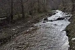 The Ocolișel River | |
 | |
| Location | |
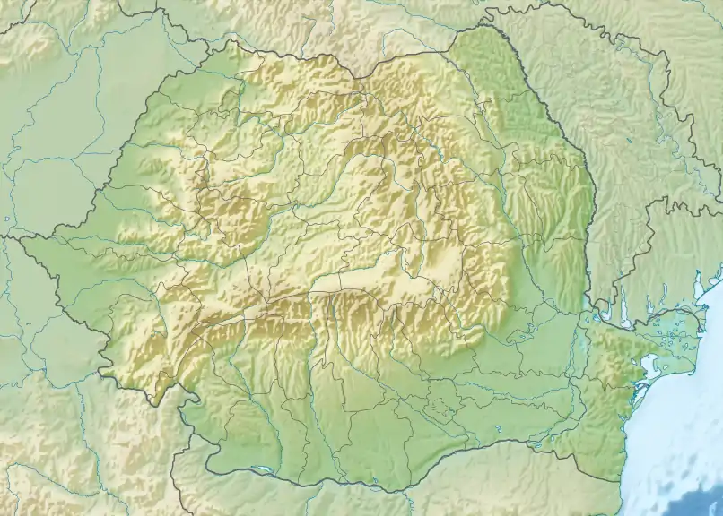
| Country | Romania |
| Counties | Cluj County |
| Villages | Valea Vadului, Ocolișel |
| Physical characteristics | |
| Source | Mount Bușcat |
| • coordinates | 46°31′41″N 23°16′43″E / 46.52806°N 23.27861°E |
| • elevation | 1,515 m (4,970 ft) |
| Mouth | Arieș |
• location | Lungești |
• coordinates | 46°29′57″N 23°31′50″E / 46.49917°N 23.53056°E |
• elevation | 387 m (1,270 ft) |
| Length | 25 km (16 mi) |
| Basin size | 51 km2 (20 sq mi) |
| Basin features | |
| Progression | Arieș→ Mureș→ Tisza→ Danube→ Black Sea |
The Ocolișel is a small river in the Apuseni Mountains, Cluj County, western Romania. It is a left tributary of the river Arieș.[1][2] It flows through the commune of Iara, and joins the Arieș near the village Lungești. In its upper course it is also called Vad or Valea Vadului. Its length is 25 km (16 mi) and its basin size is 51 km2 (20 sq mi).[2]
References
- ↑ "Planul național de management. Sinteza planurilor de management la nivel de bazine/spații hidrografice, anexa 7.1" (PDF, 5.1 MB). Administrația Națională Apele Române. 2010. p. 322.
- 1 2 Atlasul cadastrului apelor din România. Partea 1 (in Romanian). Bucharest: Ministerul Mediului. 1992. p. 151. OCLC 895459847. River code: IV.1.81.27
This article is issued from Wikipedia. The text is licensed under Creative Commons - Attribution - Sharealike. Additional terms may apply for the media files.