New Cuyama Airport | |||||||||||
|---|---|---|---|---|---|---|---|---|---|---|---|
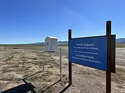 Main airport runway | |||||||||||
| Summary | |||||||||||
| Airport type | Public use | ||||||||||
| Owner | Zannon Family Foundation | ||||||||||
| Serves | New Cuyama, California | ||||||||||
| Elevation AMSL | 2,203 ft / 671 m | ||||||||||
| Coordinates | 34°56′24″N 119°41′08″W / 34.94000°N 119.68556°W | ||||||||||
| Map | |||||||||||
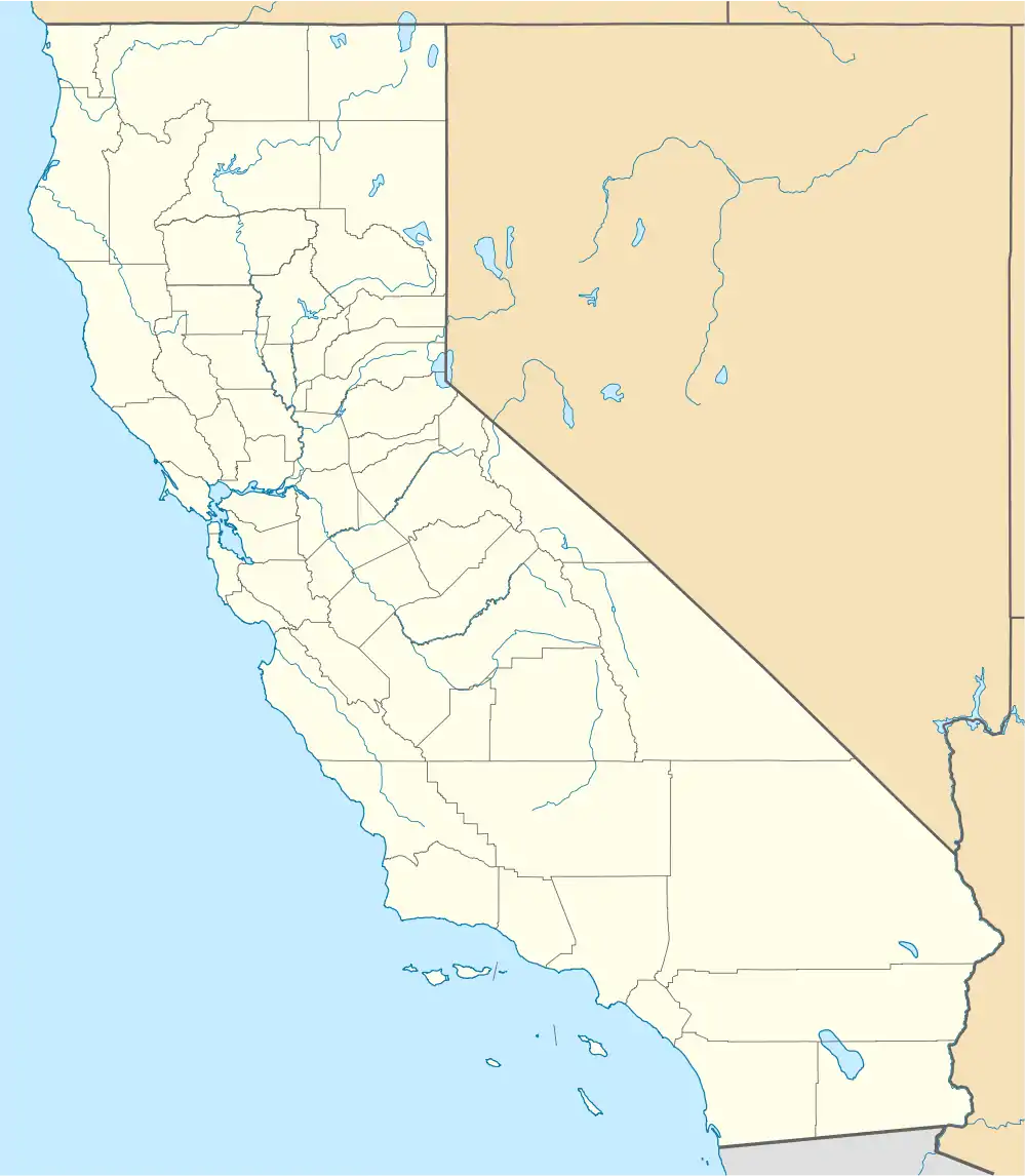 L88 Location in California | |||||||||||
| Runways | |||||||||||
| |||||||||||
| Statistics (2011) | |||||||||||
| |||||||||||
New Cuyama Airport (FAA LID: L88) is a privately owned, public use airport located in New Cuyama, in Santa Barbara County, California, United States.[1]
Facilities and aircraft
New Cuyama Airport covers an area of 308 acres (125 ha) at an elevation of 2,204 feet (672 m) above mean sea level. It has one runway designated 11/29 with an asphalt surface measuring 3,380 by 60 feet (1,090 x 18 m).[1]
For the 12-month period ending November 7, 2011, the airport had 500 general aviation aircraft operations, an average of 41 per month.[1]
General condition
The airport was reopened in May 2015.[2][3] One pilot reports that "the runway is repaved and in good condition, however the parking area is a little rough.".[4] However, the current FAA database now indicates that this airport is once again "closed indefinitely".[5] Airport was recently renovated and has reopened as of October 8, 2022.
References
- 1 2 3 4 FAA Airport Form 5010 for L88 PDF. Federal Aviation Administration. Effective November 15, 2012.
- ↑ "New Cuyama Airport reopens — General Aviation News".
- ↑ "L88 New Cuyama | EAA Chapter 527 – KSBA". sbaero.com. Archived from the original on 2015-05-30.
- ↑ "AirNav: Blue Sky Center at New Cuyama Airport".
- ↑ "Aeronautical Information Services - Federal Aviation Administration", nfdc.faa.gov
External links
- Photos of the New Cuyama Airport and City
- Aerial image as of May 1994 from USGS The National Map
- Resources for this airport:
- FAA airport information for L88
- AirNav airport information for L88
- FlightAware airport information and live flight tracker
- SkyVector aeronautical chart for L88