Namlea | |
|---|---|
Town | |
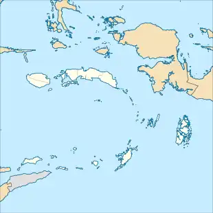 Namlea Location in the Maluku Islands of Indonesia | |
| Coordinates: 3°15′S 127°5′E / 3.250°S 127.083°E | |
| Country | Indonesia |
| Province | Maluku |
| Regency | Buru |
| Area | |
| • Total | 951.15 km2 (367.24 sq mi) |
| Population (mid 2022 estimate)[2] | |
| • Total | 37,869 |
| • Density | 40/km2 (100/sq mi) |
| Time zone | UTC+9 (WIB) |
Namlea[3] is a town and district (kecamatan) situated on the north side of Kayeli Bay on the northeastern coast of the Indonesian island of Buru.[4] It is the capital of the Buru Regency.
Climate
Namlea has a tropical savanna climate (Aw) with moderate to heavy rainfall from December to July and moderate to little rainfall from August to November. Due to a strong rainshadow effect, it has the lowest rainfall on Buru Island.
| Climate data for Namlea | |||||||||||||
|---|---|---|---|---|---|---|---|---|---|---|---|---|---|
| Month | Jan | Feb | Mar | Apr | May | Jun | Jul | Aug | Sep | Oct | Nov | Dec | Year |
| Mean daily maximum °C (°F) | 30.8 (87.4) |
30.8 (87.4) |
30.8 (87.4) |
30.4 (86.7) |
29.6 (85.3) |
29.1 (84.4) |
28.1 (82.6) |
28.4 (83.1) |
29.4 (84.9) |
30.1 (86.2) |
31.4 (88.5) |
31.0 (87.8) |
30.0 (86.0) |
| Daily mean °C (°F) | 27.3 (81.1) |
27.2 (81.0) |
27.3 (81.1) |
27.1 (80.8) |
26.6 (79.9) |
26.4 (79.5) |
25.6 (78.1) |
25.7 (78.3) |
26.2 (79.2) |
26.5 (79.7) |
27.7 (81.9) |
27.4 (81.3) |
26.7 (80.2) |
| Mean daily minimum °C (°F) | 23.8 (74.8) |
23.7 (74.7) |
23.8 (74.8) |
23.8 (74.8) |
23.7 (74.7) |
23.7 (74.7) |
23.2 (73.8) |
23.0 (73.4) |
23.0 (73.4) |
22.9 (73.2) |
24.0 (75.2) |
23.8 (74.8) |
23.5 (74.4) |
| Average rainfall mm (inches) | 194 (7.6) |
145 (5.7) |
141 (5.6) |
84 (3.3) |
100 (3.9) |
124 (4.9) |
149 (5.9) |
33 (1.3) |
36 (1.4) |
29 (1.1) |
86 (3.4) |
136 (5.4) |
1,257 (49.5) |
| Source: Climate-Data.org[5] | |||||||||||||
References
- ↑ Karakteristik Daerah Kabupaten Buru
- ↑ Badan Pusat Statistik, Jakarta, 2023.
- ↑ Profil Kecamatan Namlea
- ↑ "Seram Island (map)". Indonesiatravelingguide.com. Retrieved 8 June 2015.
- ↑ "Climate: Namlea". Climate-Data.org. Retrieved 23 November 2020.
This article is issued from Wikipedia. The text is licensed under Creative Commons - Attribution - Sharealike. Additional terms may apply for the media files.