Mwenge
| |
|---|---|
| Kata ya Mwenge, Wilaya na Halmashauri ya Masasi Mjini | |
 Mwenge | |
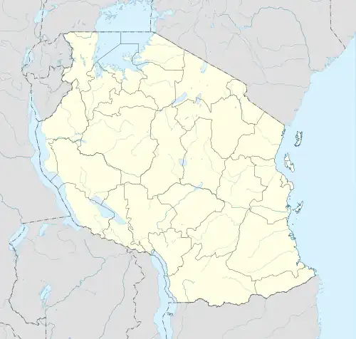
| Coordinates: 10°43′56.64″S 38°48′36.36″E / 10.7324000°S 38.8101000°E | |
| Country | |
| Region | Mtwara Region |
| District | Masasi Town Council |
| Area | |
| • Total | 90.4 km2 (34.9 sq mi) |
| Elevation | 379 m (1,243 ft) |
| Population (2012) | |
| • Total | 7,222 |
| • Density | 80/km2 (210/sq mi) |
| Tanzanian Postal Code | 63535 |
Mwenge is an administrative ward in Masasi Town Council of Mtwara Region in Tanzania. The ward covers an area of 90.4 km2 (34.9 sq mi),[1] and has an average elevation of 379 m (1,243 ft).[2] According to the 2012 census, the ward has a total population of 7,222.[3]
References
- ↑ "Tanzania: Coastal Tanzania (Districts and Wards) – Population Statistics, Charts and Map".
- ↑ "Mwenge Elevation".
- ↑ "2012 Population and Housing Census General Report" (PDF). Government of Tanzania. Retrieved 2022-03-03.
This article is issued from Wikipedia. The text is licensed under Creative Commons - Attribution - Sharealike. Additional terms may apply for the media files.