Muskowekwan 85-28 | |
|---|---|
| Muskowekwan Indian Reserve No. 85-28 | |
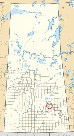 Location in Saskatchewan | |
| First Nation | Muskowekwan |
| Country | Canada |
| Province | Saskatchewan |
| Area | |
| • Total | 367.2 ha (907.4 acres) |
| Population (2016)[2] | |
| • Total | 0 |
| • Density | 0.0/km2 (0.0/sq mi) |
Muskowekwan 85-28 is an Indian reserve of the Muskowekwan First Nation in Saskatchewan.[1][3] It is about 105 kilometres (65 mi) west of Yorkton. In the 2016 Canadian Census, it recorded a population of 0 living in 1 of its 1 total private dwellings.[2]
See also
References
- 1 2 "Reserve/Settlement/Village Detail". Crown–Indigenous Relations and Northern Affairs Canada. Government of Canada. Retrieved 12 August 2019.
- 1 2 "Census Profile, 2016 Census". Statistics Canada. 8 February 2017. Retrieved 10 August 2019.
- ↑ "Canada Lands Survey System - CLSS Map Browser". Natural Resources Canada. Retrieved 9 October 2019.
| Towns |  | ||||
|---|---|---|---|---|---|
| Villages | |||||
| Resort villages | |||||
| Rural municipalities | |||||
| First Nations | |||||
| Indian reserves | |||||
| Unincorporated communities |
| ||||
51°17′13″N 103°56′56″W / 51.287°N 103.949°W
This article is issued from Wikipedia. The text is licensed under Creative Commons - Attribution - Sharealike. Additional terms may apply for the media files.