Mayerthorpe Airport | |||||||||||
|---|---|---|---|---|---|---|---|---|---|---|---|
| Summary | |||||||||||
| Airport type | Public | ||||||||||
| Operator | Lac Ste-Anne County | ||||||||||
| Location | Lac Ste. Anne County, near Mayerthorpe, Alberta | ||||||||||
| Time zone | MST (UTC−07:00) | ||||||||||
| • Summer (DST) | MDT (UTC−06:00) | ||||||||||
| Elevation AMSL | 2,432 ft / 741 m | ||||||||||
| Coordinates | 53°56′14″N 115°10′43″W / 53.93722°N 115.17861°W | ||||||||||
| Map | |||||||||||
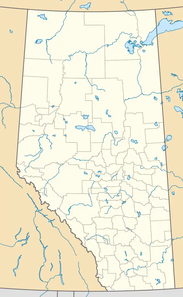 CEC5 Location in Alberta | |||||||||||
| Runways | |||||||||||
| |||||||||||
Source: Canada Flight Supplement[1] | |||||||||||
Mayerthorpe Airport (TC LID: CEV5) is located 1.3 nautical miles (2.4 km; 1.5 mi) southwest of Mayerthorpe, Alberta, Canada.
References
| By name | |
|---|---|
| By location indicator | |
| By province/territory | |
| By area | |
| National Airports System | |
| Related | |
| |
This article is issued from Wikipedia. The text is licensed under Creative Commons - Attribution - Sharealike. Additional terms may apply for the media files.