Manoncourt-en-Vermois | |
|---|---|
_mairie.jpg.webp) The town hall in Manoncourt-en-Vermois | |
 Coat of arms | |
Location of Manoncourt-en-Vermois | |
 Manoncourt-en-Vermois 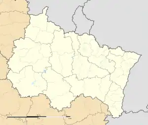 Manoncourt-en-Vermois | |
| Coordinates: 48°36′06″N 6°16′02″E / 48.6017°N 6.2672°E | |
| Country | France |
| Region | Grand Est |
| Department | Meurthe-et-Moselle |
| Arrondissement | Nancy |
| Canton | Jarville-la-Malgrange |
| Intercommunality | CC des Pays du Sel et du Vermois |
| Government | |
| • Mayor (2020–2026) | Rachel Pascal[1] |
| Area 1 | 6.68 km2 (2.58 sq mi) |
| Population | 338 |
| • Density | 51/km2 (130/sq mi) |
| Time zone | UTC+01:00 (CET) |
| • Summer (DST) | UTC+02:00 (CEST) |
| INSEE/Postal code | 54345 /54210 |
| Elevation | 231–335 m (758–1,099 ft) (avg. 280 m or 920 ft) |
| 1 French Land Register data, which excludes lakes, ponds, glaciers > 1 km2 (0.386 sq mi or 247 acres) and river estuaries. | |
Manoncourt-en-Vermois (French pronunciation: [manɔ̃kuʁ ɑ̃ vɛʁmwa]) is a commune in the Meurthe-et-Moselle department in north-eastern France.
See also
References
- ↑ "Répertoire national des élus: les maires" (in French). data.gouv.fr, Plateforme ouverte des données publiques françaises. 13 September 2022.
- ↑ "Populations légales 2021". The National Institute of Statistics and Economic Studies. 28 December 2023.
Wikimedia Commons has media related to Manoncourt-en-Vermois.
This article is issued from Wikipedia. The text is licensed under Creative Commons - Attribution - Sharealike. Additional terms may apply for the media files.