Mahtowa | |
|---|---|
 Mahtowa Location of the community of Mahtowa within Mahtowa Township, Carlton County | |
| Coordinates: 46°34′26″N 92°37′55″W / 46.57389°N 92.63194°W | |
| Country | United States |
| State | Minnesota |
| County | Carlton County |
| Township | Mahtowa Township |
| Area | |
| • Total | 10.60 sq mi (27.45 km2) |
| • Land | 10.59 sq mi (27.43 km2) |
| • Water | 0.01 sq mi (0.02 km2) |
| Elevation | 1,152 ft (351 m) |
| Population (2020) | |
| • Total | 332 |
| • Density | 31.34/sq mi (12.10/km2) |
| ZIP code | 55707 |
| Area code | 218 |
| GNIS feature ID | 0647392 |
Mahtowa (/ˈmɑːtoʊwə/ MAH-toh-wə)[2] is an unincorporated community and census-designated place (CDP) in Mahtowa Township, Carlton County, Minnesota, United States. As of the 2010 census, its population was 370.[3]
The community is located between Cloquet and Moose Lake, near the junction of Interstate 35 and Carlton County Road 4.
County Road 4 and County Road 61 are two of the main routes in Mahtowa.
Mahtowa is located 13 miles southwest of Cloquet. Mahtowa is located 11 miles northeast of Moose Lake; and 32 miles southwest of Duluth.
| Census | Pop. | Note | %± |
|---|---|---|---|
| 1880 | 143 | — | |
| 2010 | 370 | — | |
| 2020 | 332 | −10.3% | |
| U.S. Decennial Census[4] | |||
References
- ↑ "2020 U.S. Gazetteer Files". United States Census Bureau. Retrieved July 24, 2022.
- ↑ "Minnesota Pronunciation Guide". Associated Press. Archived from the original on July 22, 2011. Retrieved July 4, 2011.
- ↑ "U.S. Census website". United States Census Bureau. Retrieved May 14, 2011.
- ↑ "Census of Population and Housing". Census.gov. Retrieved August 5, 2019.
Further reading
- Rand McNally Road Atlas – 2007 edition – Minnesota entry
- Official State of Minnesota Highway Map – 2011/2012 edition
- Mn/DOT map of Carlton County – 2012 edition
Municipalities and communities of Carlton County, Minnesota, United States | ||
|---|---|---|
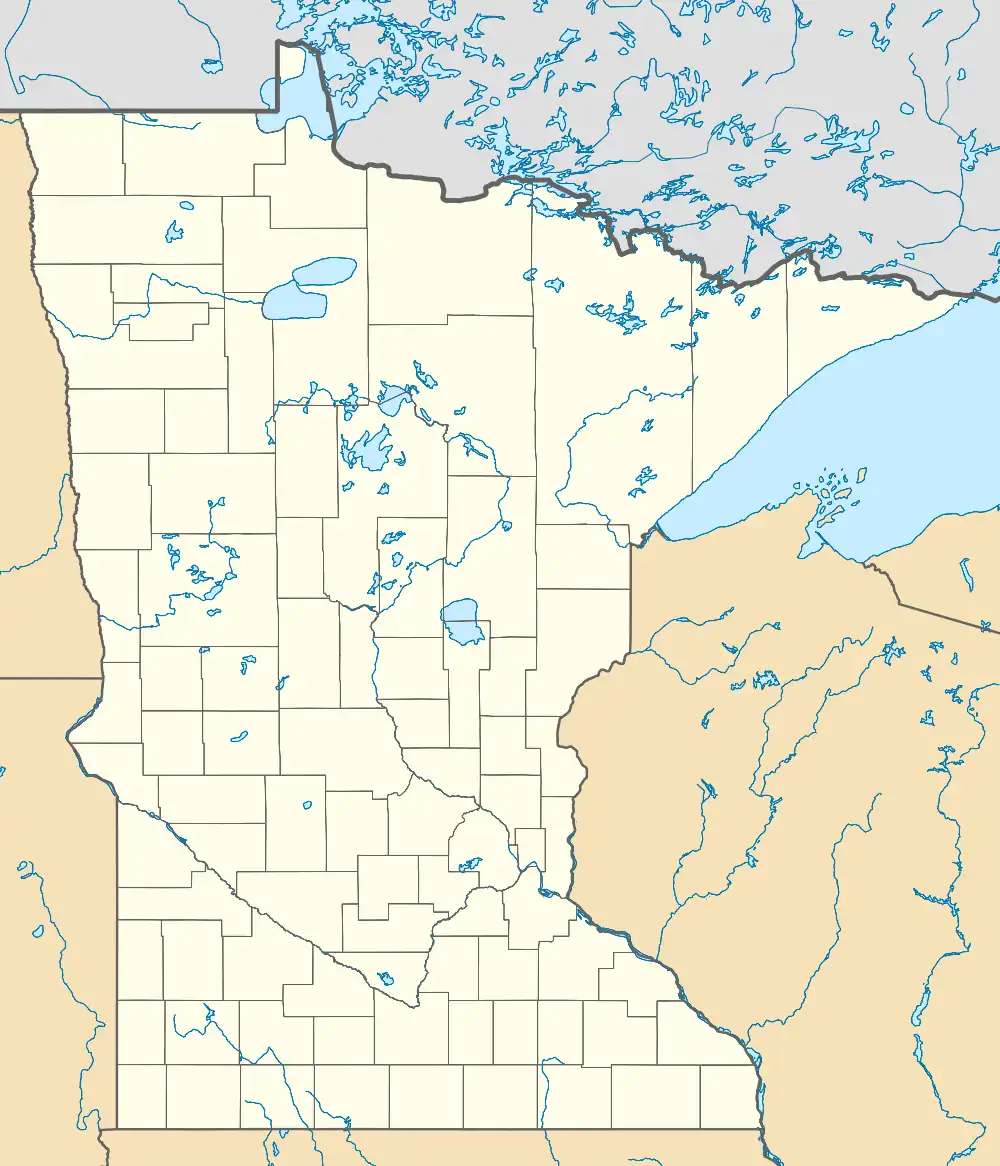
| Cities | 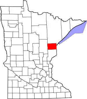 Map of Minnesota highlighting Carlton County | |
| Townships | ||
| CDPs | ||
| Unorganized territories | ||
| Unincorporated communities | ||
| Indian reservations | ||
| Footnotes | ‡This populated place also has portions in an adjacent county or counties | |
This article is issued from Wikipedia. The text is licensed under Creative Commons - Attribution - Sharealike. Additional terms may apply for the media files.