Macomb Municipal Airport | |||||||||||||||
|---|---|---|---|---|---|---|---|---|---|---|---|---|---|---|---|
| Summary | |||||||||||||||
| Airport type | Public | ||||||||||||||
| Owner | Macomb Airport Authority | ||||||||||||||
| Location | Macomb, Illinois | ||||||||||||||
| Elevation AMSL | 706 ft / 215 m | ||||||||||||||
| Coordinates | 40°31′11.0″N 090°39′21.9″W / 40.519722°N 90.656083°W | ||||||||||||||
| Map | |||||||||||||||
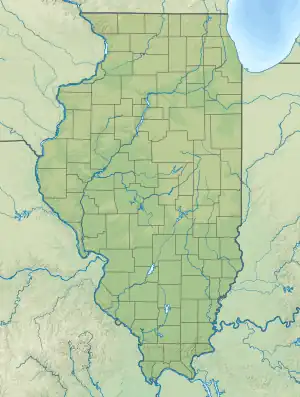 MQB Location of airport in Illinois  MQB MQB (the United States) | |||||||||||||||
| Runways | |||||||||||||||
| |||||||||||||||
| Statistics (2021) | |||||||||||||||
| |||||||||||||||
Macomb Municipal Airport (IATA: MQB, ICAO: KMQB, FAA LID: MQB) is a public airport located three statute miles (5 km) north of the central business district of Macomb, a city in McDonough County, Illinois, United States. It is owned by the Macomb Airport Authority.[1]
Facilities and aircraft
Macomb Municipal Airport covers an area of 360 acres (150 ha) which contains two runways: 9/27 with an asphalt pavement measuring 5,100 by 100 ft (1,554 by 30 m) and 18/36 with a turf surface measuring 3,719 by 190 ft (1,134 by 58 m).[1]
For the 12-month period ending May 31, 2021, the airport had 9,000 aircraft operations, an average of 25 per day: 72% general aviation and 28% air taxi. There was 23 aircraft based at this airport: 21 single-engine and 2 multi-engine.[1]
See also
References
External links
- Resources for this airport:
- FAA airport information for MQB
- AirNav airport information for KMQB
- ASN accident history for MQB
- FlightAware airport information and live flight tracker
- NOAA/NWS weather observations: current, past three days
- SkyVector aeronautical chart, Terminal Procedures
This article is issued from Wikipedia. The text is licensed under Creative Commons - Attribution - Sharealike. Additional terms may apply for the media files.