Lucy-sur-Cure | |
|---|---|
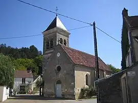 The church of Essert in Lucy-sur-Cure | |
Location of Lucy-sur-Cure | |
 Lucy-sur-Cure 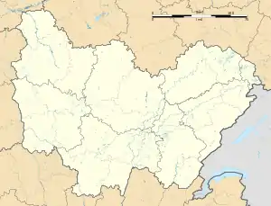 Lucy-sur-Cure | |
| Coordinates: 47°37′46″N 3°44′38″E / 47.6294°N 3.7439°E | |
| Country | France |
| Region | Bourgogne-Franche-Comté |
| Department | Yonne |
| Arrondissement | Auxerre |
| Canton | Joux-la-Ville |
| Government | |
| • Mayor (2020–2026) | Frédéric Moiselet-Parquet[1] |
| Area 1 | 10.58 km2 (4.08 sq mi) |
| Population | 202 |
| • Density | 19/km2 (49/sq mi) |
| Time zone | UTC+01:00 (CET) |
| • Summer (DST) | UTC+02:00 (CEST) |
| INSEE/Postal code | 89233 /89270 |
| Elevation | 117–241 m (384–791 ft) |
| 1 French Land Register data, which excludes lakes, ponds, glaciers > 1 km2 (0.386 sq mi or 247 acres) and river estuaries. | |
Lucy-sur-Cure (French pronunciation: [lysi syʁ kyʁ], literally Lucy on Cure) is a commune in the Yonne department in Bourgogne-Franche-Comté in north-central France.
See also
References
- ↑ "Répertoire national des élus: les maires" (in French). data.gouv.fr, Plateforme ouverte des données publiques françaises. 13 September 2022.
- ↑ "Populations légales 2021". The National Institute of Statistics and Economic Studies. 28 December 2023.
Wikimedia Commons has media related to Lucy-sur-Cure.
This article is issued from Wikipedia. The text is licensed under Creative Commons - Attribution - Sharealike. Additional terms may apply for the media files.