| Lough Meela | |
|---|---|
| Loch Míle (Irish) | |
 | |
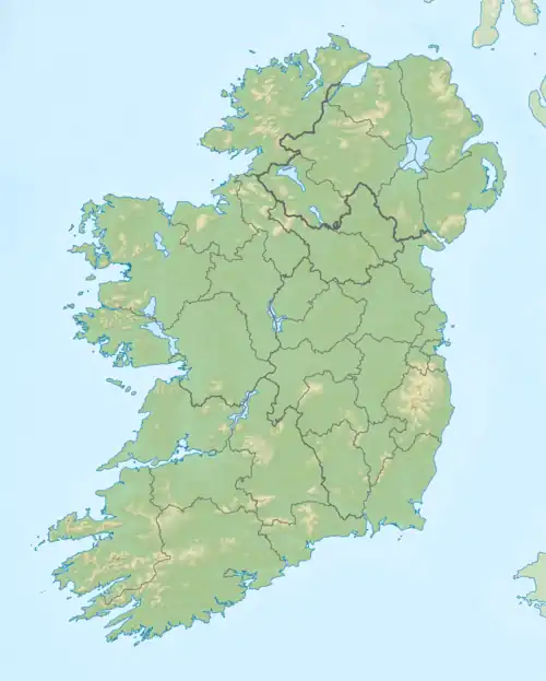 Location in Ireland | |
| Location | County Donegal |
| Coordinates | 54°57′58″N 8°24′13″W / 54.96611°N 8.40361°W |
| Catchment area | 9.52 km2 (3.7 sq mi) |
| Basin countries | Ireland |
| Max. length | 1.2 km (1 mi) |
| Max. width | 0.6 km (0.4 mi) |
| Surface area | 0.57 km2 (0.22 sq mi) |
| Surface elevation | 3 m (9.8 ft) |
| Islands | 2 |
| References | [1][2][3] |
Lough Meela (Irish: Loch Míle)[1] is a freshwater lake in the northwest of Ireland. It is located in The Rosses area of County Donegal.
Geography
Lough Meela is located about 5 kilometres (3 mi) northwest of Dungloe and 3 km (2 mi) southeast of Burtonport, on the R259 road. It measures about 1 km (0.6 mi) long north–south and 0.5 km (0.3 mi) wide.[2]
Natural history
Fish species in Lough Meela include sea trout, brown trout[4] and flounder.[5] The lake is part of The Rosses Fishery.[4]
See also
References
- 1 2 "Loch Míle/Lough Meela". Placenames Database of Ireland. Government of Ireland - Department of Arts, Heritage and the Gaeltacht and Dublin City University. Retrieved 16 March 2016.
- 1 2 Google (16 March 2016). "Lough Meela" (Map). Google Maps. Google. Retrieved 16 March 2016.
- ↑ Free, Gary; Little, Ruth; Tierney, Deirdre; Donnelly, Karol & Caroni, Rossana (2006). A Reference Based Typology and Ecological Assessment System for Irish Lakes (PDF) (Report). Environmental Protection Agency (Ireland). p. 12. Retrieved 11 October 2022.
- 1 2 "The Rosses Fishery". Inland Fisheries Ireland. Retrieved 16 March 2016.
- ↑ "Ireland Red List No. 5: Amphibians, Reptiles & Freshwater Fish" (PDF). National Parks and Wildlife Service (Ireland). 2011. p. 49. Retrieved 16 March 2016.
This article is issued from Wikipedia. The text is licensed under Creative Commons - Attribution - Sharealike. Additional terms may apply for the media files.