Locust Grove Township | |
|---|---|
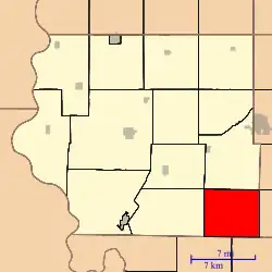 Location in Fremont County | |
| Coordinates: 40°37′07″N 95°25′52″W / 40.61861°N 95.43111°W | |
| Country | United States |
| State | Iowa |
| County | Fremont |
| Area | |
| • Total | 31.15 sq mi (80.67 km2) |
| • Land | 31.15 sq mi (80.67 km2) |
| • Water | 0 sq mi (0 km2) 0% |
| Elevation | 1,155 ft (352 m) |
| Population | |
| • Total | 164 |
| • Density | 5.3/sq mi (2/km2) |
| Time zone | UTC-6 (CST) |
| • Summer (DST) | UTC-5 (CDT) |
| ZIP codes | 51601, 51639, 51640, 51650 |
| GNIS feature ID | 0468292[2] |
Locust Grove Township is one of thirteen townships in Fremont County, Iowa, United States. At the 2010 census, its population was 164 and it contained 77 housing units.[1]
Geography
According to the 2010 census, Locust Grove Township covers an area of 31.15 square miles (80.7 km2), all land.[1]
Cemeteries
The township contains Locust Grove Cemetery[3] and Saint Pauls Lutheran Cemetery.[4]
Transportation
School districts
- Farragut Community School District
- Hamburg Community School District
Political districts
- Iowa's 3rd congressional district
- State House District 23
- State Senate District 12
References
- 1 2 3 "2010 Census Gazetteer". United States Census Bureau. Archived from the original on February 23, 2014. Retrieved February 23, 2014.
- ↑ "Locust Grove Township, Fremont County, Iowa". Geographic Names Information System. United States Geological Survey, United States Department of the Interior. Retrieved February 23, 2014.
- ↑ "Locust Grove Cemetery". Geographic Names Information System. United States Geological Survey, United States Department of the Interior. Retrieved February 23, 2014.
- ↑ "Saint Pauls Lutheran Cemetery". Geographic Names Information System. United States Geological Survey, United States Department of the Interior. Retrieved February 23, 2014.
External links
Places adjacent to Locust Grove Township, Fremont County, Iowa | |
|---|---|
Municipalities and communities of Fremont County, Iowa, United States | ||
|---|---|---|
| Cities | Map of Iowa highlighting Fremont County | |
| Townships | ||
| CDPs | ||
| Other unincorporated community | ||
| Footnotes | ‡This populated place also has portions in an adjacent county or counties | |
This article is issued from Wikipedia. The text is licensed under Creative Commons - Attribution - Sharealike. Additional terms may apply for the media files.