Le Plessis-Pâté | |
|---|---|
 The town hall in Le Plessis-Pâté | |
.svg.png.webp) Coat of arms | |
Location of Le Plessis-Pâté | |
 Le Plessis-Pâté 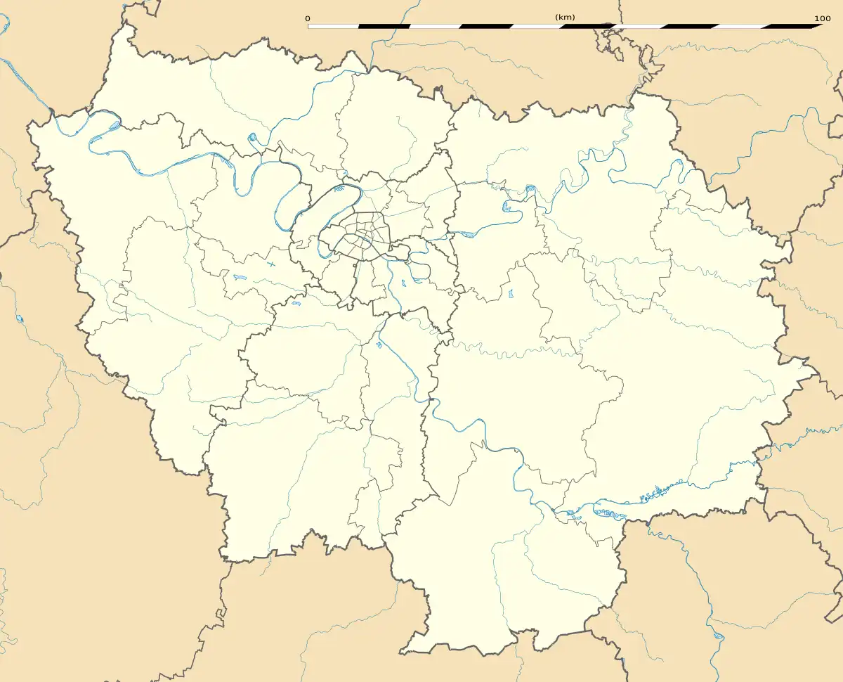 Le Plessis-Pâté | |
| Coordinates: 48°36′44″N 2°19′31″E / 48.6122°N 2.3254°E | |
| Country | France |
| Region | Île-de-France |
| Department | Essonne |
| Arrondissement | Palaiseau |
| Canton | Ris-Orangis |
| Intercommunality | CA Cœur d'Essonne |
| Government | |
| • Mayor (2020–2026) | Sylvain Tanguy[1] |
| Area 1 | 7.58 km2 (2.93 sq mi) |
| Population | 4,147 |
| • Density | 550/km2 (1,400/sq mi) |
| Time zone | UTC+01:00 (CET) |
| • Summer (DST) | UTC+02:00 (CEST) |
| INSEE/Postal code | 91494 /91220 |
| Elevation | 76–83 m (249–272 ft) |
| 1 French Land Register data, which excludes lakes, ponds, glaciers > 1 km2 (0.386 sq mi or 247 acres) and river estuaries. | |
Le Plessis-Pâté (French pronunciation: [lə plɛsi pate] ⓘ) is a commune in the Essonne department in Île-de-France in northern France.
Population
| Year | Pop. | ±% p.a. |
|---|---|---|
| 1968 | 622 | — |
| 1975 | 1,249 | +10.47% |
| 1982 | 2,719 | +11.75% |
| 1990 | 2,798 | +0.36% |
| 1999 | 2,926 | +0.50% |
| 2007 | 3,921 | +3.73% |
| 2012 | 4,096 | +0.88% |
| 2017 | 4,103 | +0.03% |
| Source: INSEE[3] | ||
Inhabitants of Le Plessis-Pâté are known as Plesséiens in French.
See also
References
- ↑ "Répertoire national des élus: les maires" (in French). data.gouv.fr, Plateforme ouverte des données publiques françaises. 13 September 2022.
- ↑ "Populations légales 2021". The National Institute of Statistics and Economic Studies. 28 December 2023.
- ↑ Population en historique depuis 1968, INSEE
External links
Wikimedia Commons has media related to Le Plessis-Pâté.
- Official website (in French)
- Mayors of Essonne Association (in French)
This article is issued from Wikipedia. The text is licensed under Creative Commons - Attribution - Sharealike. Additional terms may apply for the media files.