| Kvernhøi | |
|---|---|
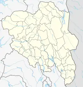 Kvernhøi Location of the mountain 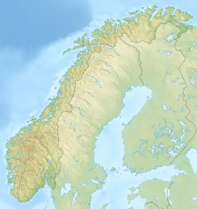 Kvernhøi Kvernhøi (Norway) | |
| Highest point | |
| Elevation | 1,686 m (5,531 ft)[1] |
| Prominence | 83 m (272 ft)[1] |
| Parent peak | Gråhøi |
| Isolation | 0.873 km (0.542 mi)[1] |
| Coordinates | 61°22′39″N 8°58′02″E / 61.37754°N 8.96727°E[2] |
| Geography | |
| Location | Innlandet, Norway |
Kvernhøi is a mountain in Øystre Slidre Municipality in Innlandet county, Norway. The 1,686-metre (5,531 ft) tall mountain is located about 14 kilometres (8.7 mi) northeast of the village of Beitostølen. The mountain is surrounded by several other notable mountains including Heimdalshøe to the north, Gråhøi to the northeast, Bitihorn to the southwest, and Raslet to the west. The lake Vinstre lies to the south. The mountain sits on the eastern edge of the Valdresflye plateau.[1]
See also
References
- 1 2 3 4 "Kvernhøi". PeakVisor.com. Retrieved 14 August 2022.
- ↑ "Kvernhøe, Øystre Slidre" (in Norwegian). yr.no. Retrieved 14 August 2022.
This article is issued from Wikipedia. The text is licensed under Creative Commons - Attribution - Sharealike. Additional terms may apply for the media files.