Komijan County
Persian: شهرستان کمیجان | |
|---|---|
County | |
 Teacher Square, Komijan | |
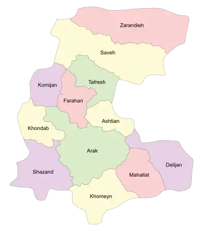 Location of Komijan County in Markazi province (center left, purple) | |
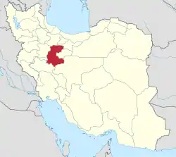 Location of Markazi province in Iran | |
| Coordinates: 34°46′N 49°21′E / 34.767°N 49.350°E[1] | |
| Country | |
| Province | Markazi |
| Capital | Komijan |
| Districts | Central, Milajerd |
| Population (2016)[2] | |
| • Total | 36,441 |
| Time zone | UTC+3:30 (IRST) |
| Komijan County can be found at GEOnet Names Server, at this link, by opening the Advanced Search box, entering "9207318" in the "Unique Feature Id" form, and clicking on "Search Database". | |
Komijan County (Persian: شهرستان کمیجان) is in Markazi province, Iran. Its capital is the city of Komijan.
At the 2006 census, the county's population was 45,296 in 11,539 households.[3] The following census in 2011 counted 39,340 people in 11,164 households, by which time Khenejin Rural District had been separated from the county to participate in the establishment of Farahan County.[4] At the 2016 census, the county's population was 36,441 in 11,339 households.[2] Azerbaijanis and Tats are the largest ethnic groups in the county.[5][6] They speak Azerbaijani and Tati.
Administrative divisions
The population history and structural changes of Komijan County's administrative divisions over three consecutive censuses are shown in the following table. The latest census shows two districts, four rural districts, and two cities.[2]
| Administrative Divisions | 2006[3] | 2011[4] | 2016[2] |
|---|---|---|---|
| Central District | 26,749 | 22,899 | 21,186 |
| Esfandan RD | 9,074 | 4,888 | 4,372 |
| Khenejin RD1 | 10,317 | ||
| Vafs RD | 8,816 | 8,038 | |
| Komijan (city) | 7,358 | 9,195 | 8,776 |
| Milajerd District | 18,547 | 16,441 | 15,255 |
| Khosrow Beyk RD | 6,398 | 4,058 | 3,540 |
| Milajerd RD | 3,221 | 3,026 | 2,427 |
| Milajerd (city) | 8,928 | 9,357 | 9,288 |
| Total | 45,296 | 39,340 | 36,441 |
| RD: Rural District 1Became a part of Farahan County | |||
References
- ↑ OpenStreetMap contributors (31 August 2023). "Komijan County" (Map). OpenStreetMap. Retrieved 31 August 2023.
- 1 2 3 4 "Census of the Islamic Republic of Iran, 1395 (2016)". AMAR (in Persian). The Statistical Center of Iran. p. 00. Archived from the original (Excel) on 17 October 2020. Retrieved 19 December 2022.
- 1 2 "Census of the Islamic Republic of Iran, 1385 (2006)". AMAR (in Persian). The Statistical Center of Iran. p. 00. Archived from the original (Excel) on 20 September 2011. Retrieved 25 September 2022.
- 1 2 "Census of the Islamic Republic of Iran, 1390 (2011)" (Excel). Iran Data Portal (in Persian). The Statistical Center of Iran. p. 00. Retrieved 19 December 2022.
- ↑ The Tati dialects in the Sociolinguistic Context of Northwestern Iran and Transcaucasia, Stilo, D. 1981: In: Iranian Studies 14.3/4, 137-187.
- ↑ Tats of Iran and Caucasus, Ali Abdoli, 2010.
Markazi Province, Iran | |||||||||||||||||||||||||
|---|---|---|---|---|---|---|---|---|---|---|---|---|---|---|---|---|---|---|---|---|---|---|---|---|---|
| Capital |  | ||||||||||||||||||||||||
| Counties and cities |
| ||||||||||||||||||||||||
| Sights |
| ||||||||||||||||||||||||
| populated places | |||||||||||||||||||||||||
| Capital | |||||||||||||||||||||
|---|---|---|---|---|---|---|---|---|---|---|---|---|---|---|---|---|---|---|---|---|---|
| Districts |
| ||||||||||||||||||||