Kožušany-Tážaly | |
|---|---|
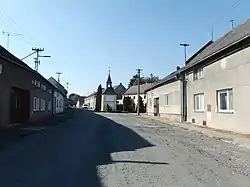 Centre of Tážaly | |
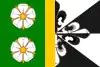 Flag 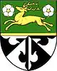 Coat of arms | |
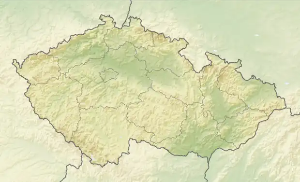 Kožušany-Tážaly Location in the Czech Republic | |
| Coordinates: 49°32′23″N 17°15′14″E / 49.53972°N 17.25389°E | |
| Country | |
| Region | Olomouc |
| District | Olomouc |
| First mentioned | 1078 |
| Area | |
| • Total | 6.27 km2 (2.42 sq mi) |
| Elevation | 227 m (745 ft) |
| Population (2023-01-01)[1] | |
| • Total | 876 |
| • Density | 140/km2 (360/sq mi) |
| Time zone | UTC+1 (CET) |
| • Summer (DST) | UTC+2 (CEST) |
| Postal code | 783 78 |
| Website | www |
Kožušany-Tážaly is a municipality in Olomouc District in the Olomouc Region of the Czech Republic. It has about 900 inhabitants.
Administrative parts
The municipality is made up of villages of Kožušany and Tážaly.
Geography
Kožušany-Tážaly lies approximately 4 kilometres (2 mi) south of Olomouc. It is located in the Upper Morava Valley on the right bank of the Morava River.
History
.JPG.webp)
The first written mention of Tážaly is from 1078, it is one of the oldest villages in the region. The first written mention of Kožušany is from 1297. From 1568 to 1782, both villages were owned by the St. Catherine Monastery in Olomouc. Kožušany and Tážaly were two separate municipalities until 1960 when they were merged.[2]
In 1880, the primary school was built.[2]
Sights
The most important monument is the Chapel of Saint Anne in Kožušany. It was built in the Baroque style in 1750.[3]
Notable people
- David Rozehnal (born 1980), footballer; raised here and lives here
References
- ↑ "Population of Municipalities – 1 January 2023". Czech Statistical Office. 2023-05-23.
- 1 2 "Historie" (in Czech). Obec Kožušany-Tážaly. Retrieved 2020-11-19.
- ↑ "Kaple sv. Anny" (in Czech). National Heritage Institute. Retrieved 2023-07-02.