| Kent-Sussex Line Branch Tributary to Nanticoke River | |
|---|---|
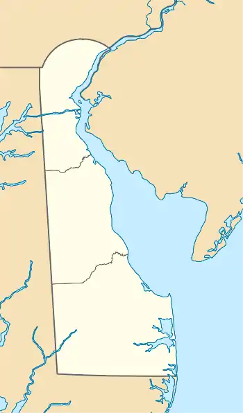 Location of Kent-Sussex Line Branch mouth  Kent-Sussex Line Branch (the United States) | |
| Location | |
| Country | United States |
| State | Delaware |
| County | Sussex Kent |
| Physical characteristics | |
| Source | Beaverdam Branch divide |
| • location | about 1 mile south of Six Forks, Delaware[1] |
| • coordinates | 38°52′13″N 075°32′05″W / 38.87028°N 75.53472°W[2] |
| • elevation | 55 ft (17 m)[1] |
| Mouth | Nanticoke River |
• location | about 2 miles northeast of Greenwood, Delaware[3] |
• coordinates | 38°50′08″N 075°33′16″W / 38.83556°N 75.55444°W[2] |
• elevation | 49 ft (15 m)[3] |
| Length | 3.50 mi (5.63 km)[4] |
| Basin size | 4.43 square miles (11.5 km2)[5] |
| Discharge | |
| • location | Nanticoke River |
| • average | 5.61 cu ft/s (0.159 m3/s) at mouth with Nanticoke River[5] |
| Basin features | |
| Progression | Nanticoke River → Chesapeake Bay → Atlantic Ocean[4] |
| River system | Nanticoke River |
| Tributaries | |
| • left | unnamed tributaries |
| • right | unnamed tributaries |
| Bridges | Mesibov Road (x2), Staytonville Road |
Kent-Sussex Line Branch is a 3.50 mi (5.63 km) long 2nd order tributary to the Nanticoke River in Sussex County, Delaware. The lower part of this branch flows along the Kent and Sussex County line, hence the name.
Variant names
According to the Geographic Names Information System, it has also been known historically as:[2]
- Beaverdam Ditch
Course
Kent-Sussex Line Branch rises about 1 mile south of Six Forks, Delaware in Kent County[1] and then flows south-southwest into Sussex County to join the Nanticoke River about 2 miles northeast of Greenwood.[3]
Watershed
Kent-Sussex Line Branch drains 4.49 square miles (11.6 km2) of area, receives about 45.6 in/year of precipitation, has a topographic wetness index of 751.96 and is about 9% forested.[5]
See also
References
- 1 2 3 "Get Maps". USGS Topoview. US Geological Survey. Retrieved 6 December 2020.
- 1 2 3 "GNIS Detail - Kent-Sussex Line Branch". geonames.usgs.gov. US Geological Survey. Retrieved 6 December 2020.
- 1 2 3 "Get Maps". USGS Topoview. US Geological Survey. Retrieved 6 December 2020.
- 1 2 "ArcGIS Web Application". epa.maps.arcgis.com. US EPA. Retrieved 6 December 2020.
- 1 2 3 "Kent-Sussex Line Branch Watershed Report". US EPA Geoviewer. US EPA. Retrieved 6 December 2020.
Dover (capital) | |
| Topics |
|
| Society |
|
| Cities | |
| Towns |
|
| Counties | |
This article is issued from Wikipedia. The text is licensed under Creative Commons - Attribution - Sharealike. Additional terms may apply for the media files.