Keşap District | |
|---|---|
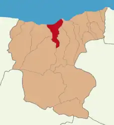 Map showing Keşap District in Giresun Province | |
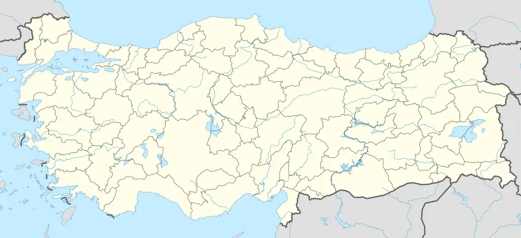 Keşap District Location in Turkey | |
| Coordinates: 40°55′N 38°31′E / 40.917°N 38.517°E | |
| Country | Turkey |
| Province | Giresun |
| Seat | Keşap |
| Government | |
| • Kaymakam | Nurullah Cemil Erciyas |
| Area | 197 km2 (76 sq mi) |
| Population (2022) | 19,596 |
| • Density | 99/km2 (260/sq mi) |
| Time zone | TRT (UTC+3) |
| Website | www |
Keşap District is a district of the Giresun Province of Turkey. Its seat is the town of Keşap.[1] Its area is 197 km2,[2] and its population is 19,596 (2022).[3]
Composition
There is one municipality in Keşap District:[1]
There are 44 villages in Keşap District:[4]
- Alataş
- Altınpınar
- Armutdüzü
- Arnavut
- Balıklısu
- Bayrambey
- Bayramşah
- Ceylanpınar
- Çakırlı
- Çamlıca
- Demirci
- Dokuztepe
- Düzköy
- Erköy
- Geçitköy
- Gönüllü
- Güneyköy
- Gürpınar
- Halkalı
- Harmandalı
- Hisarüstü
- Karabulduk
- Karadere
- Karaishak
- Karakoç
- Kaşaltı
- Kayabaşı
- Kılıçlı
- Kirazlı
- Kurbanpınarı
- Küçükgeriş
- Sancaklıtepe
- Saraycık
- Sayca
- Sürmenli
- Taflancık
- Tepeköy
- Töngel
- Unaca
- Yazlık
- Yivdincik
- Yolağzı
- Yolbaşı
- Yünlüce
References
- 1 2 İlçe Belediyesi, Turkey Civil Administration Departments Inventory. Retrieved 1 March 2023.
- ↑ "İl ve İlçe Yüz ölçümleri". General Directorate of Mapping. Retrieved 1 March 2023.
- ↑ "Address-based population registration system (ADNKS) results dated 31 December 2022, Favorite Reports" (XLS). TÜİK. Retrieved 13 March 2023.
- ↑ Köy, Turkey Civil Administration Departments Inventory. Retrieved 1 March 2023.
Keşap District in Giresun Province of Turkey | |||||||||||||||||||||||||||
|---|---|---|---|---|---|---|---|---|---|---|---|---|---|---|---|---|---|---|---|---|---|---|---|---|---|---|---|
| Districts | 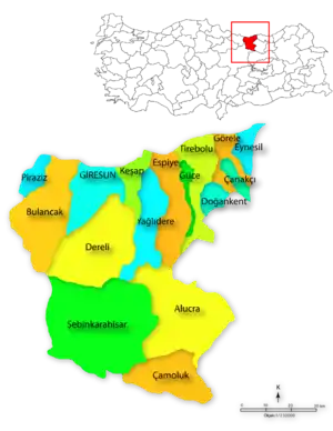 Districts of Giresun | ||||||||||||||||||||||||||
| |||||||||||||||||||||||||||
Metropolitan municipalities are bolded. | |||||||||||||||||||||||||||
This article is issued from Wikipedia. The text is licensed under Creative Commons - Attribution - Sharealike. Additional terms may apply for the media files.