| Kasmala Касмала | |
|---|---|
 View of the banks of the river near its mouth in the Ob | |
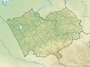 Mouth location in Altai Krai, Russia | |
| Location | |
| Country | Russia |
| Physical characteristics | |
| Source | Ob Plateau |
| • coordinates | 52°55′20″N 82°03′42″E / 52.92222°N 82.06167°E |
| Mouth | Ob |
• location | Kasmala |
• coordinates | 53°29′0″N 83°15′50″E / 53.48333°N 83.26389°E |
| Length | 119 km (74 mi) |
| Basin size | 2,550 km2 (980 sq mi) |
| Basin features | |
| Progression | Ob→ Kara Sea |
The Kasmala (Russian: Касмала) is a river in Altai Krai, Russia. The river is 119 kilometres (74 mi) long and has a catchment area of 2,550 square kilometres (980 sq mi).[1]
The basin of the river is located in the Rebrikhinsky and Pavlovsky districts. Kasmala rural locality is named after the river.
Course
The Kasmala is a left tributary of the Ob river. It has its sources in lake Seleznevo-Borovskoye, in a swampy area of the Ob Plateau. The river flows in a roughly northeastern direction. Finally it meets the left bank of the Ob at Kasmala, 3,343 km (2,077 mi) from the Ob's mouth.[2][3]
Tributaries
The longest tributary of the Kasmala is the 32 km (20 mi) long Borovlyanka (Боровлянка) on the left. The river is frozen between November and April.[1]
See also
References
- 1 2 "Река Касмала in the State Water Register of Russia". textual.ru (in Russian).
- ↑ "N-44- Topographic Chart (in Russian)". Retrieved 1 July 2022.
- ↑ Google Earth
External links
 Media related to Kasmala River at Wikimedia Commons
This article is issued from Wikipedia. The text is licensed under Creative Commons - Attribution - Sharealike. Additional terms may apply for the media files.